
On May 25, the active phase of implementation of work package 2 “Development of a digital map and mobile application for monitoring hogweed populations” began as part of the Project “Protection of biodiversity of transboundary territories of Ukraine and Poland from invasive populations of hogweed (Heracleum)”, which is implemented within the framework of the Interreg NEXT Program “Poland-Ukraine 2021-2027”.
Two experts on special enduro-class motorcycles, adapted for traveling in mountainous and field terrain, conduct surveys of territories contaminated by Sosnovsky borscht in 9 target communities – project participants. During the survey, experts take photos of the territory using the ArcGIS mobile application specially developed by Polish partners, which automatically records the GPS coordinates of plant locations. Experts also describe their characteristics, indicate the size of the population, the type of landscape. All data entered in the ArcGIS mobile application are displayed on an interactive map in real time.
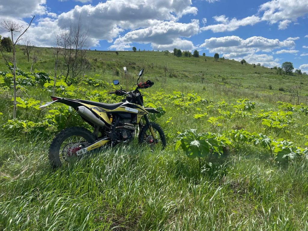
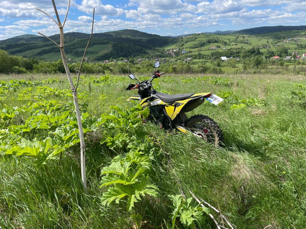
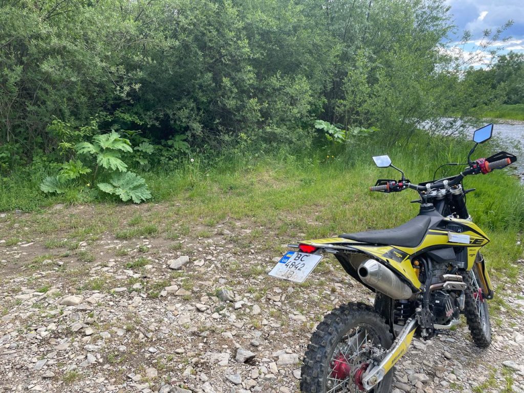
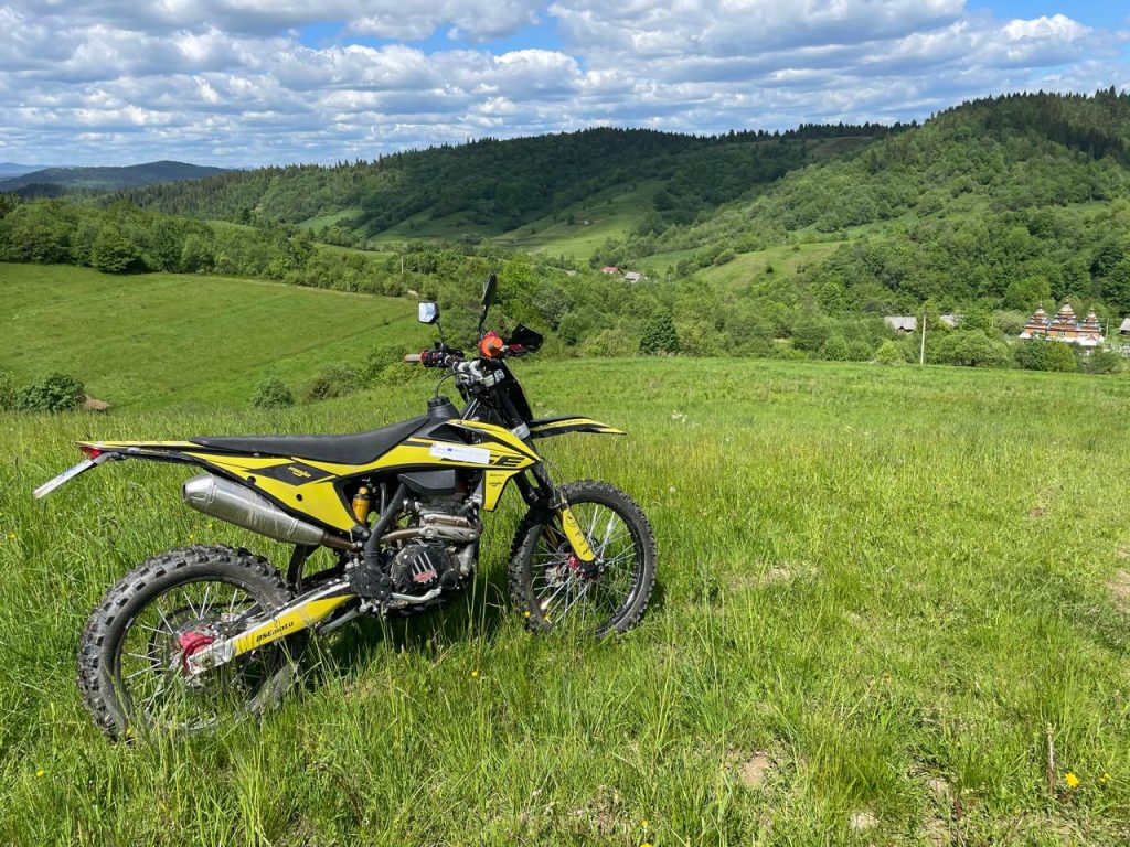
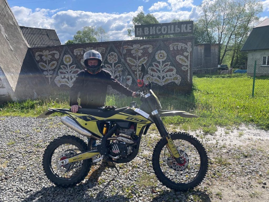
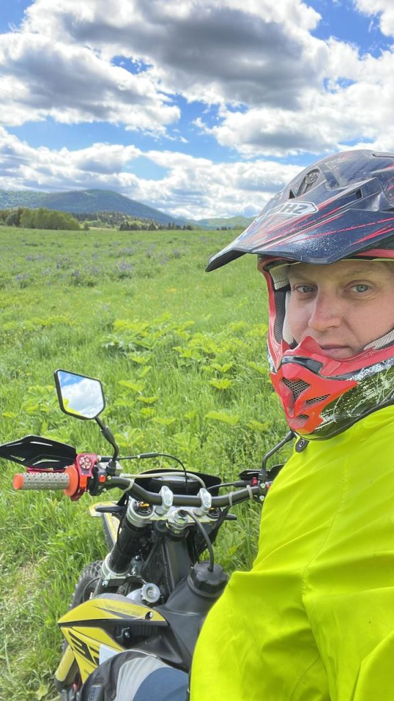
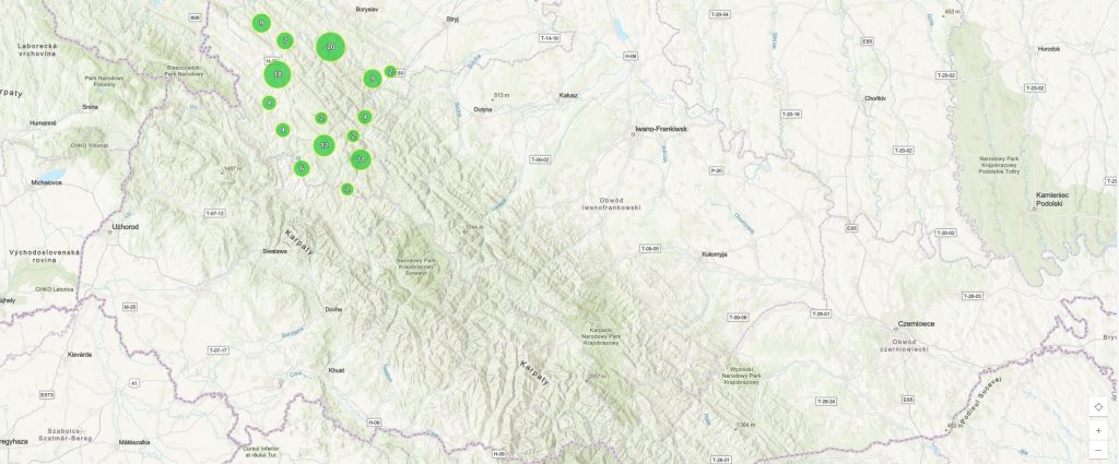
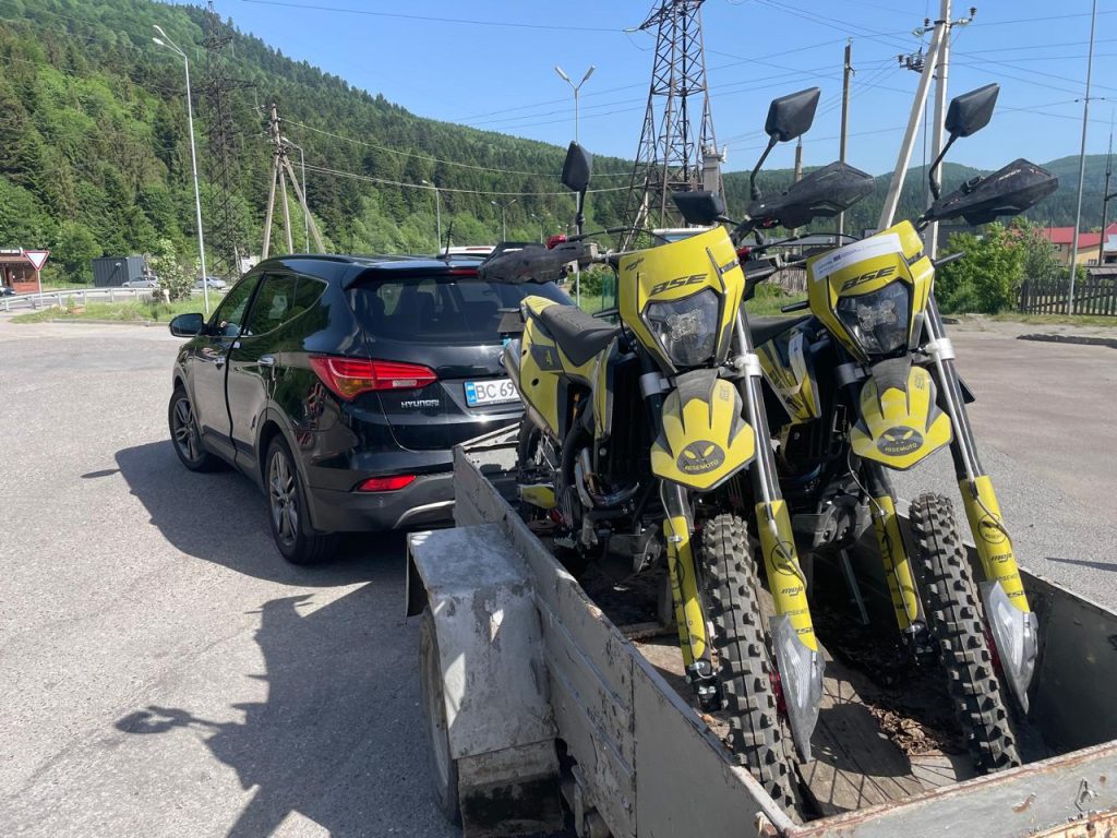
Before the beginning of June, preliminary data will be collected on the territories of the mass population of borage in almost 100 settlements of Borynska, Kozivska, Slavska, Skolivska, Skhidnytska, Starosambirska, Strilkivska, Turkivska and Khyrivska communities.
The data obtained during the survey will be the basis for forming a digital map of the distribution of the borscht population, which will be used by territorial communities to carry out practical work on the destruction of this invasive plant. In the future, this map will be detailed using remote sensing (RS) methods, combined with field and drone surveys, and will be used for surveillance and monitoring, with the aim of destroying the hogweed population, preventing its spread and restoring natural biodiversity in cleared areas.
Source: Lviv Agrarian Chamber.
Learn more about the project 𝙕𝕂𝔸𝙕𝙕
Interreg NEXT Poland – Ukraine
#EU#funds#InterregNEXT#Interreg#CBC#Program#PL_UA#ZeroHeracleum