ZeroHeracleum
About the project
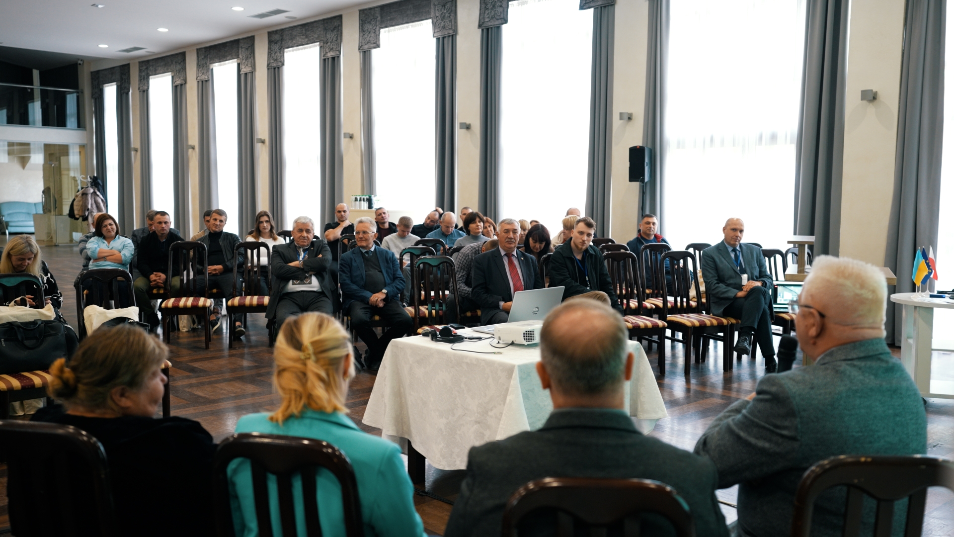
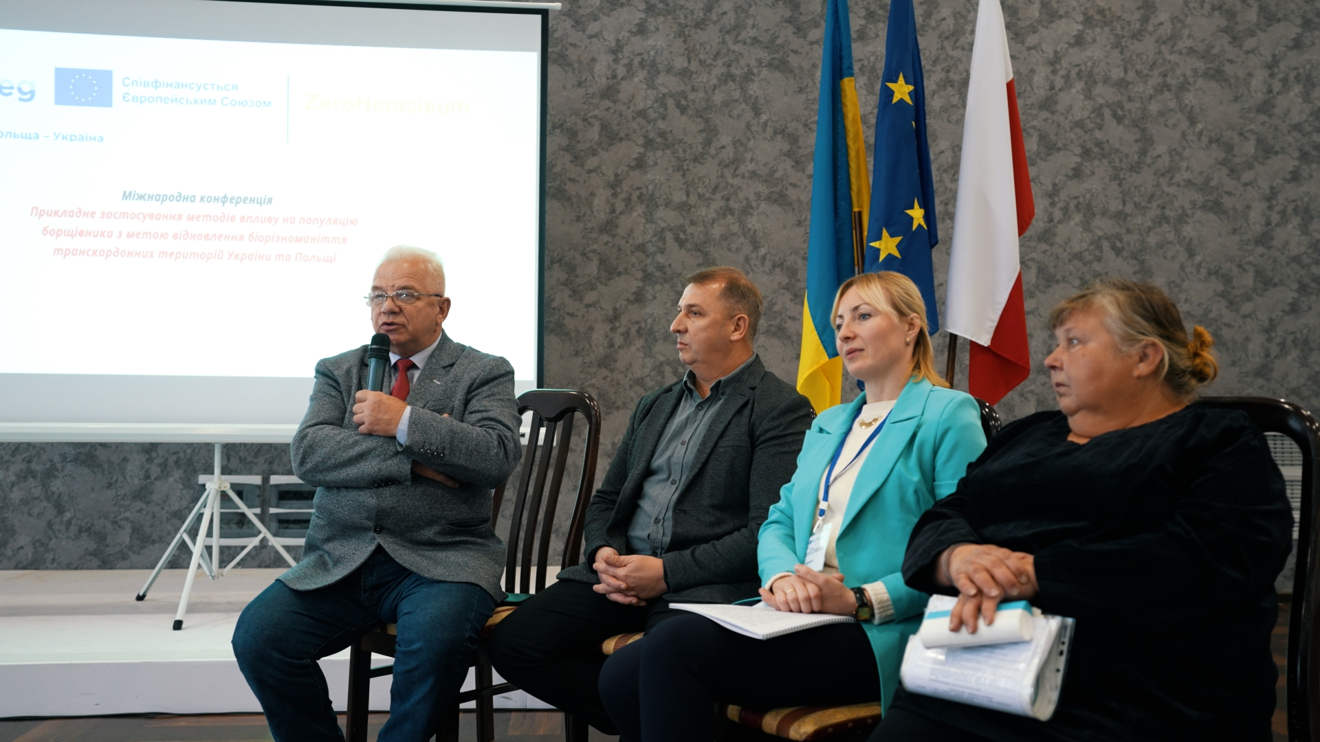
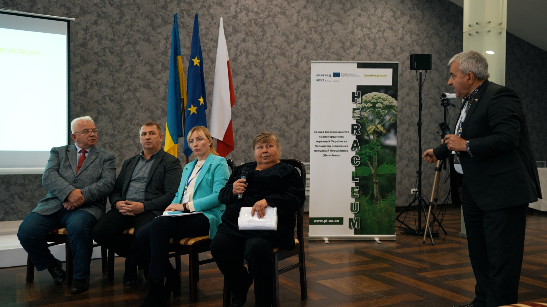
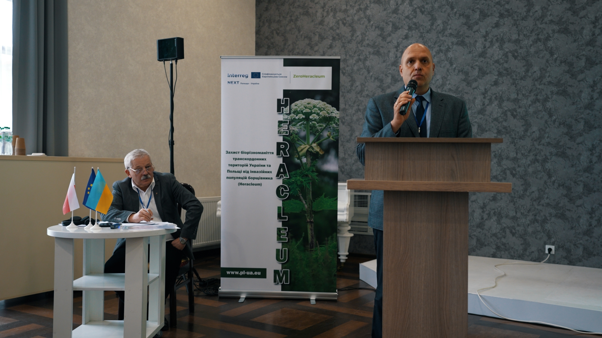
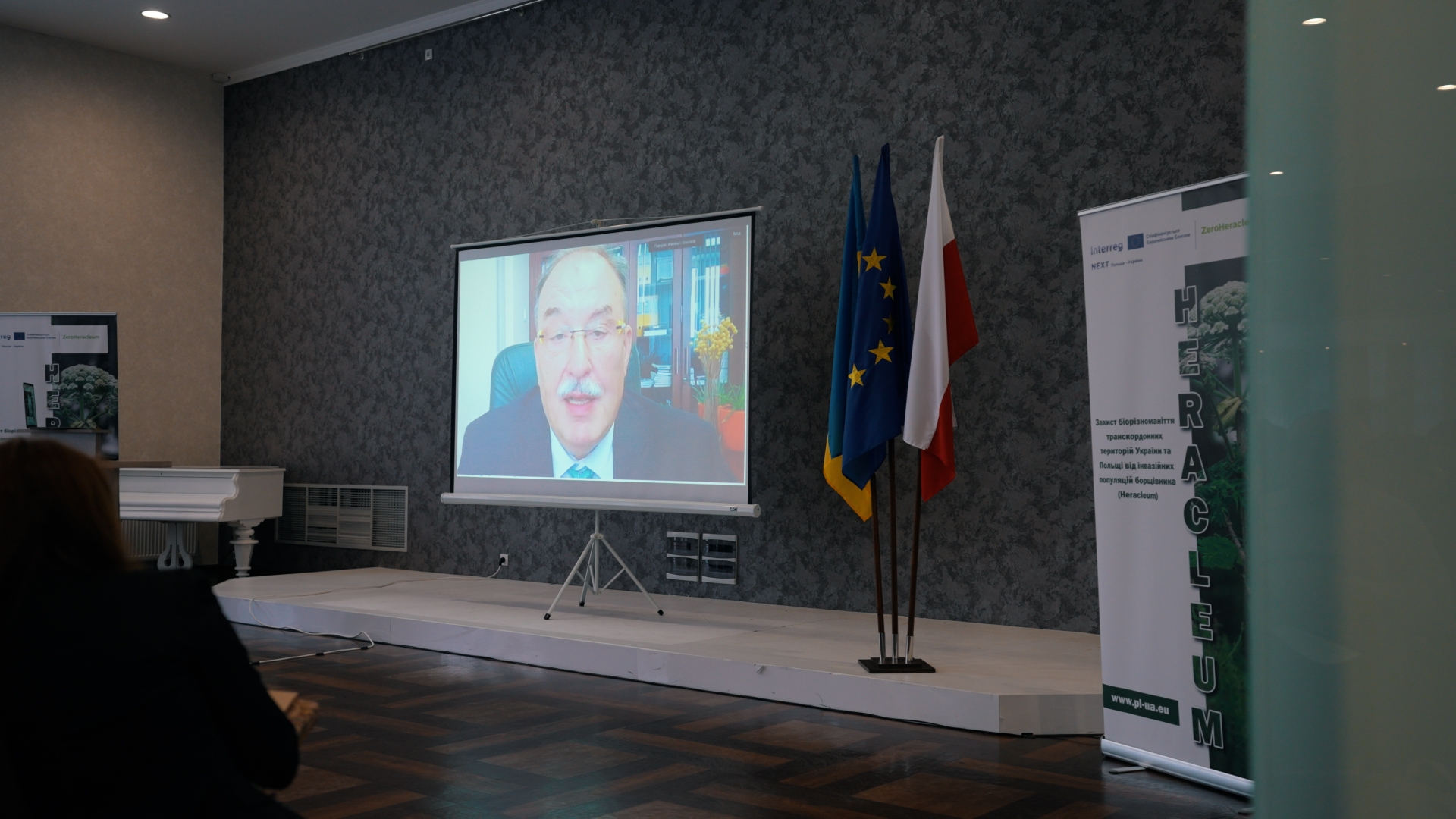
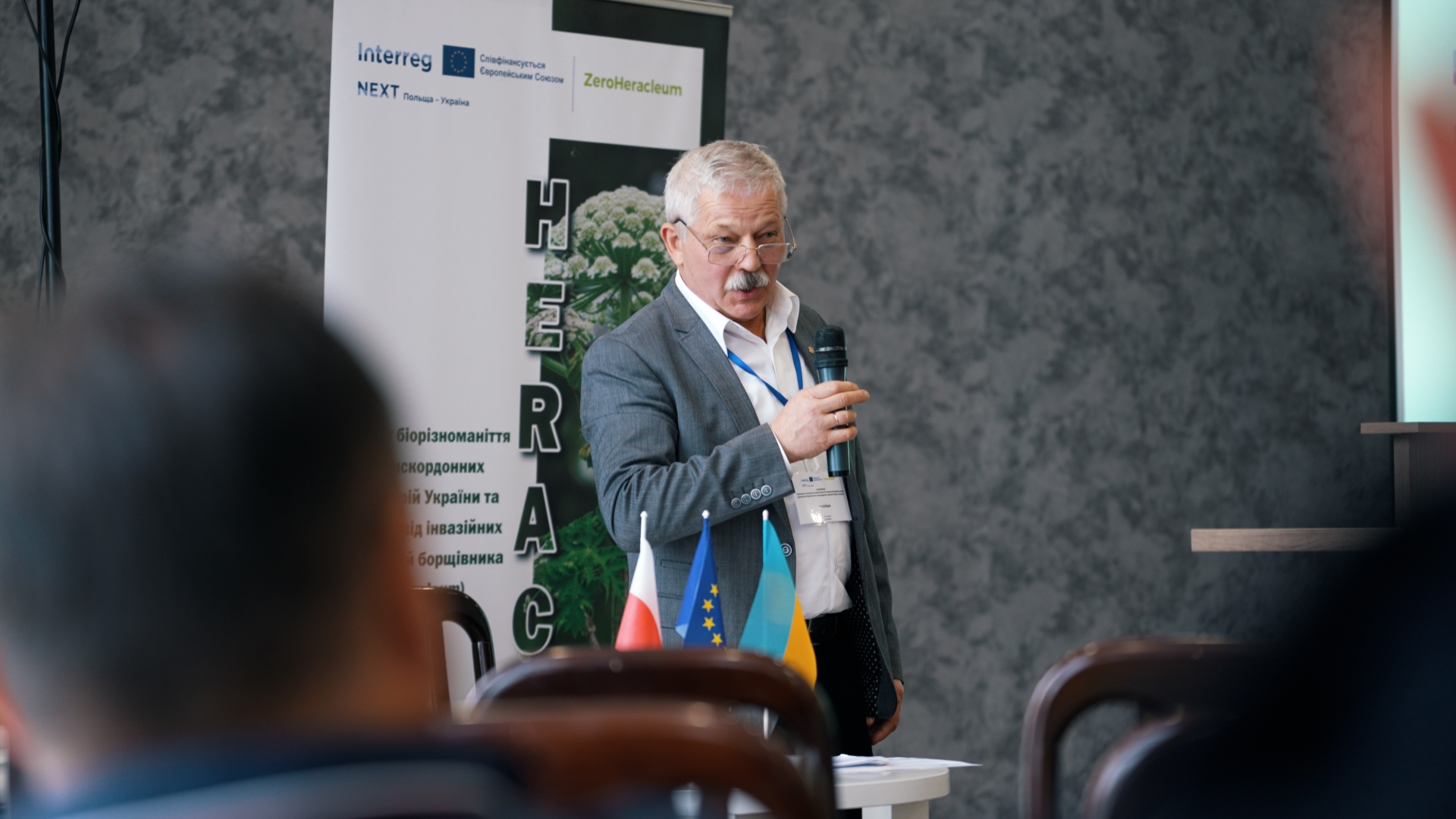
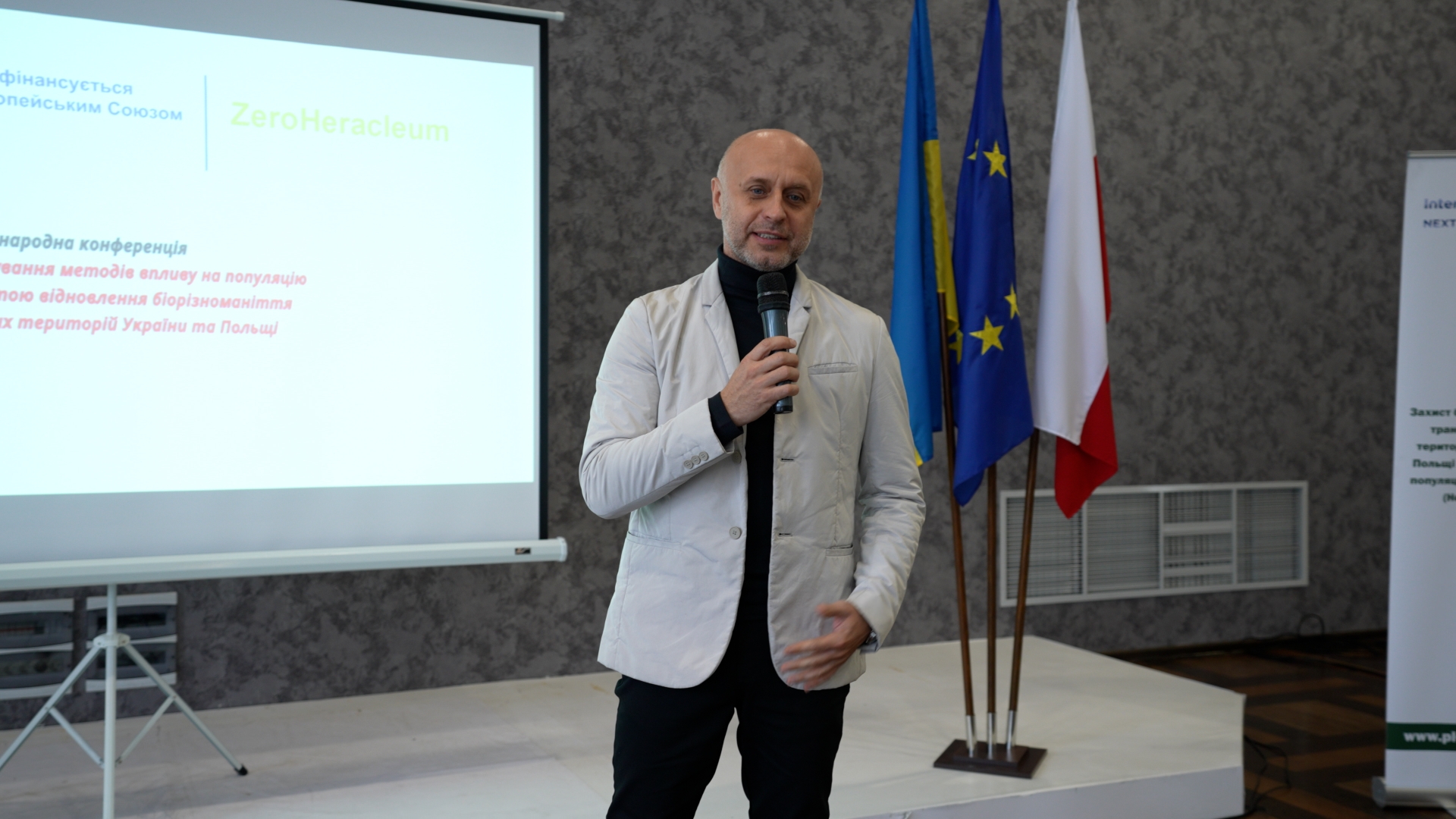
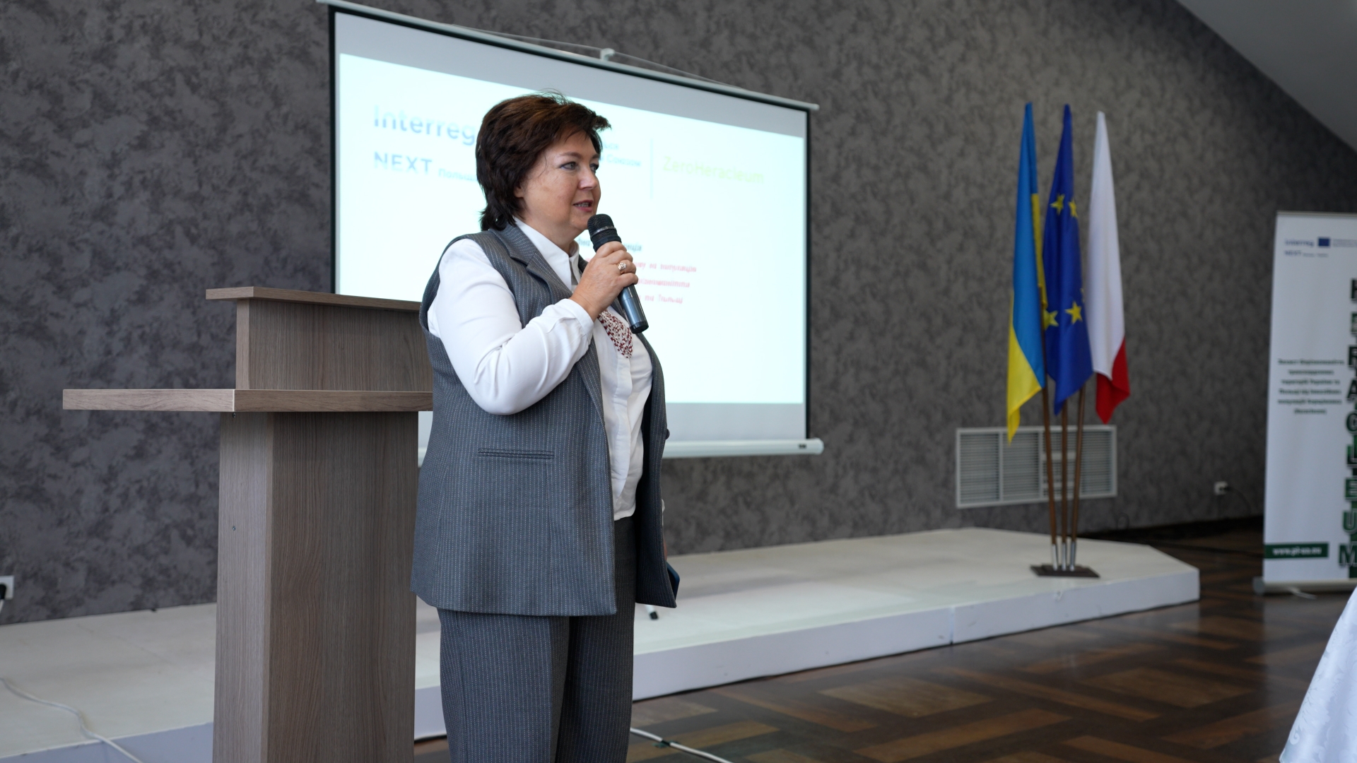
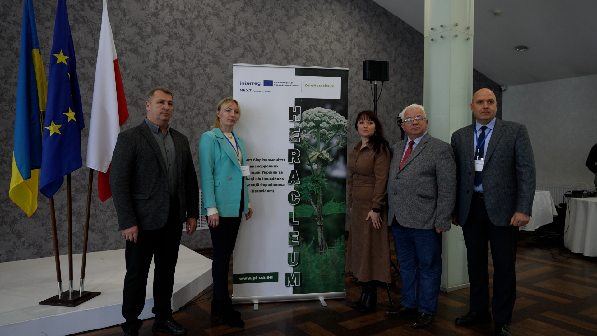
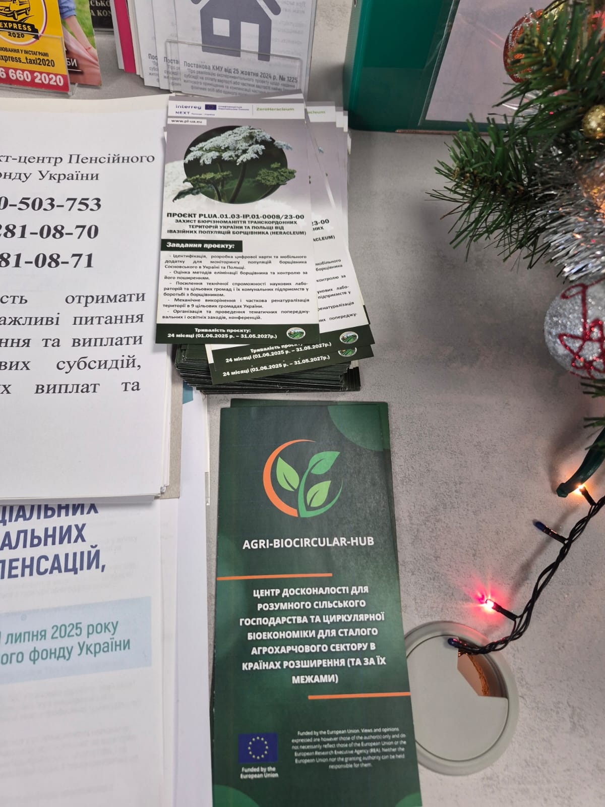
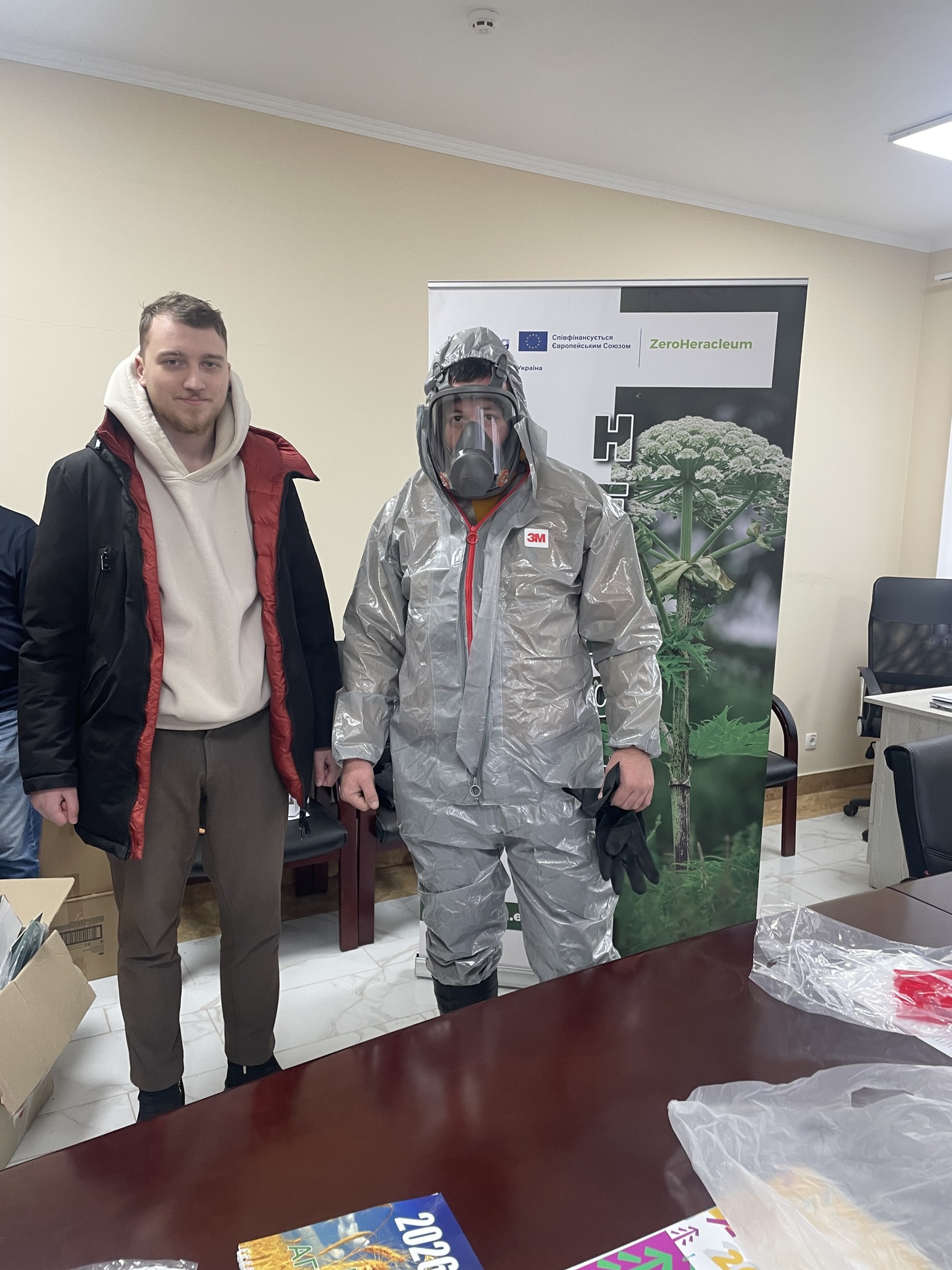
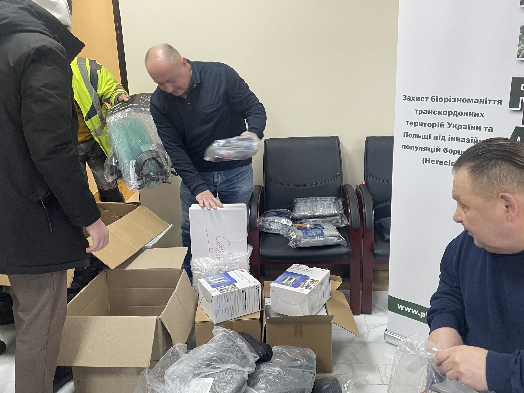
Protecting biodiversity in the cross-border areas of Ukraine and Poland from invasive populations of hogweed (Heracleum)
Lead partner of the project

Priority

Environment
Budget

1 676 036,47 EUR
Funding

1 508 432,82 EUR
Number the project

PLUA.01.03-IP.01-0008/23
Duration

24 months
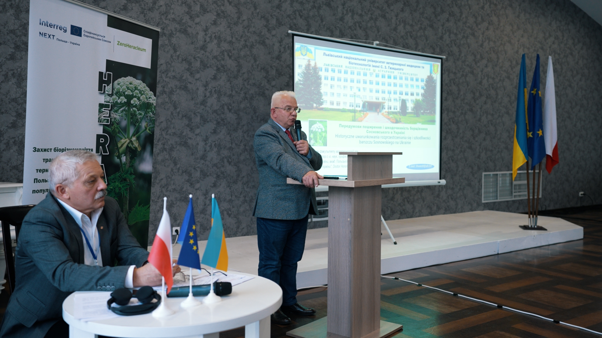
The rapid spread of invasive plant species is causing enormous damage to biodiversity and the environment. Invasive plants displace native species, creating monocultures and simplifying wildlife habitats. In Ukraine and Poland, more than 80 plant species cause damage to agriculture and forestry.
The objectives of the project are to assess the occurrence and diversity, as well as to control and monitor invasive populations of Sosnovsky hogweed on the Polish-Ukrainian border. The project covers the Lviv Oblast in Ukraine and Lubelskie, Podlaskie and Podkarpackie voivodeships in Poland.
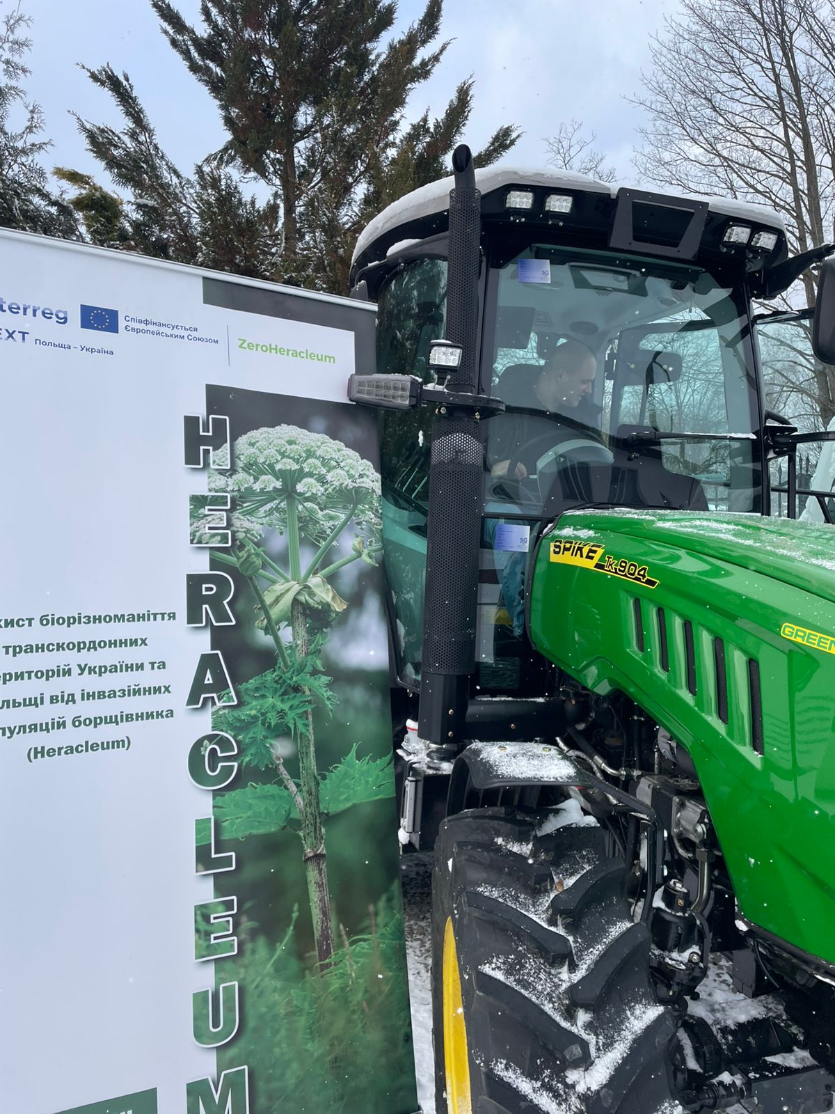
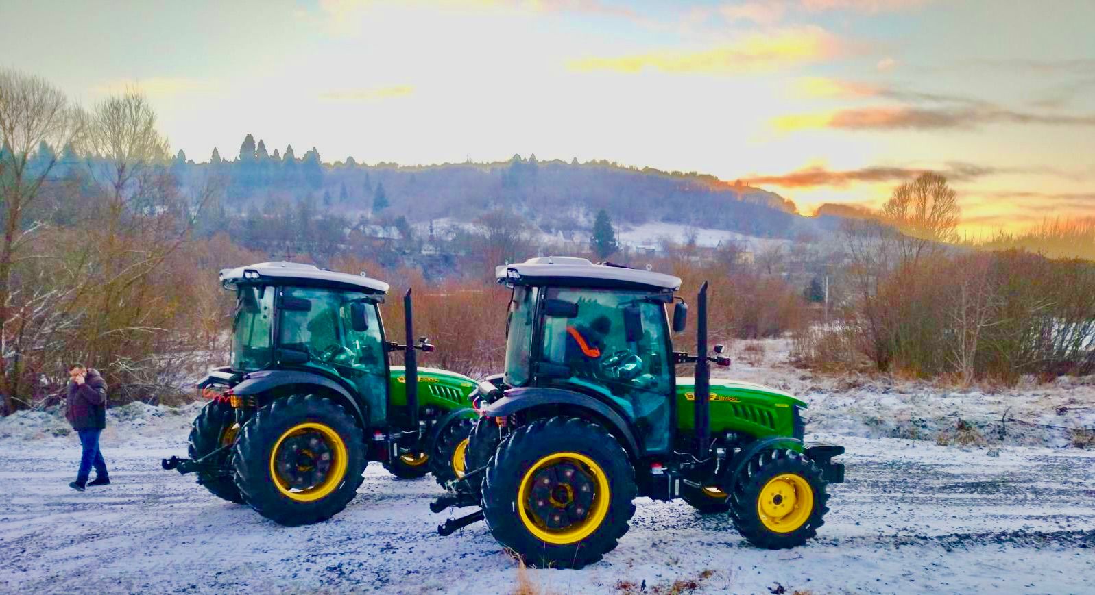
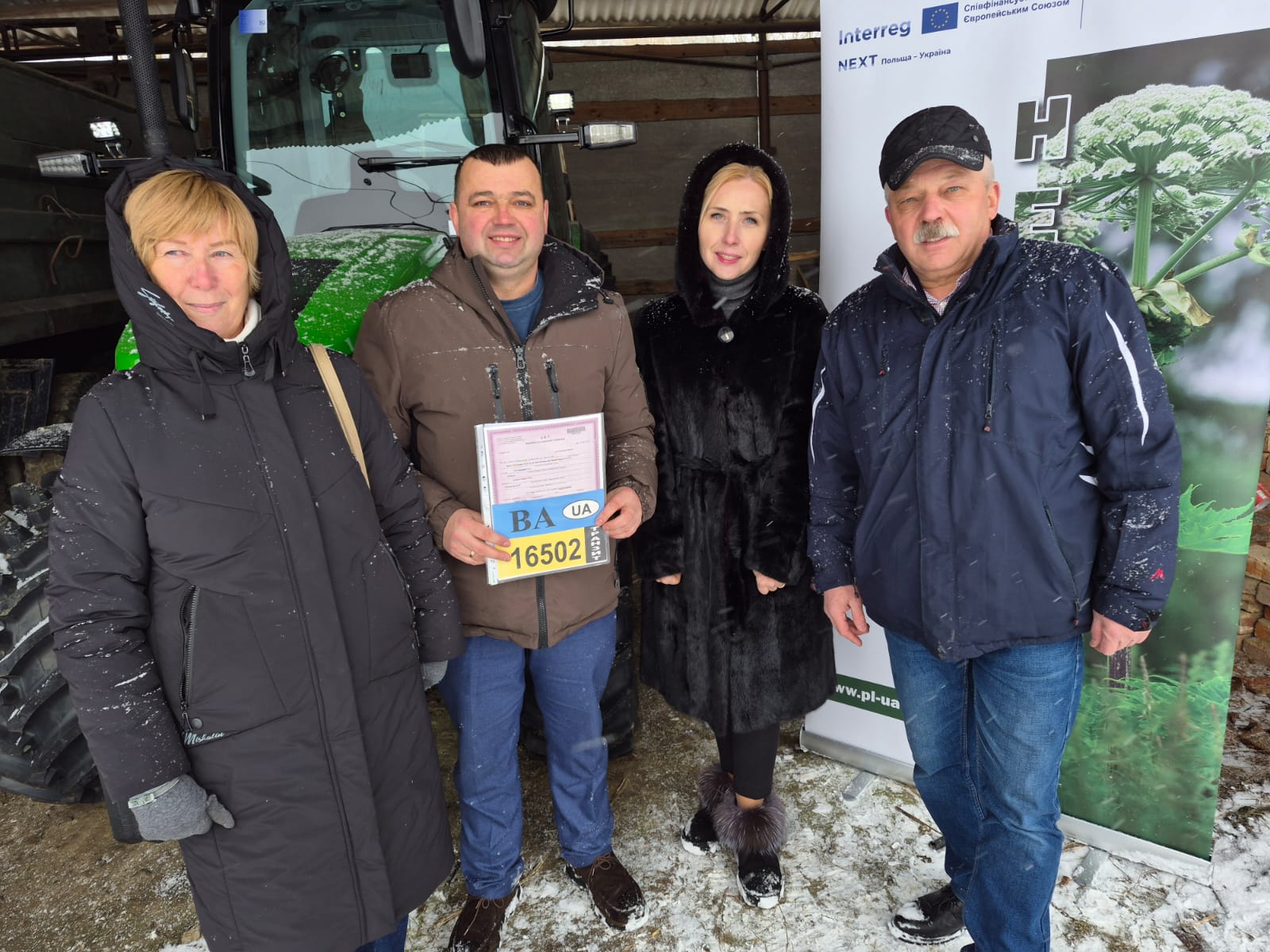
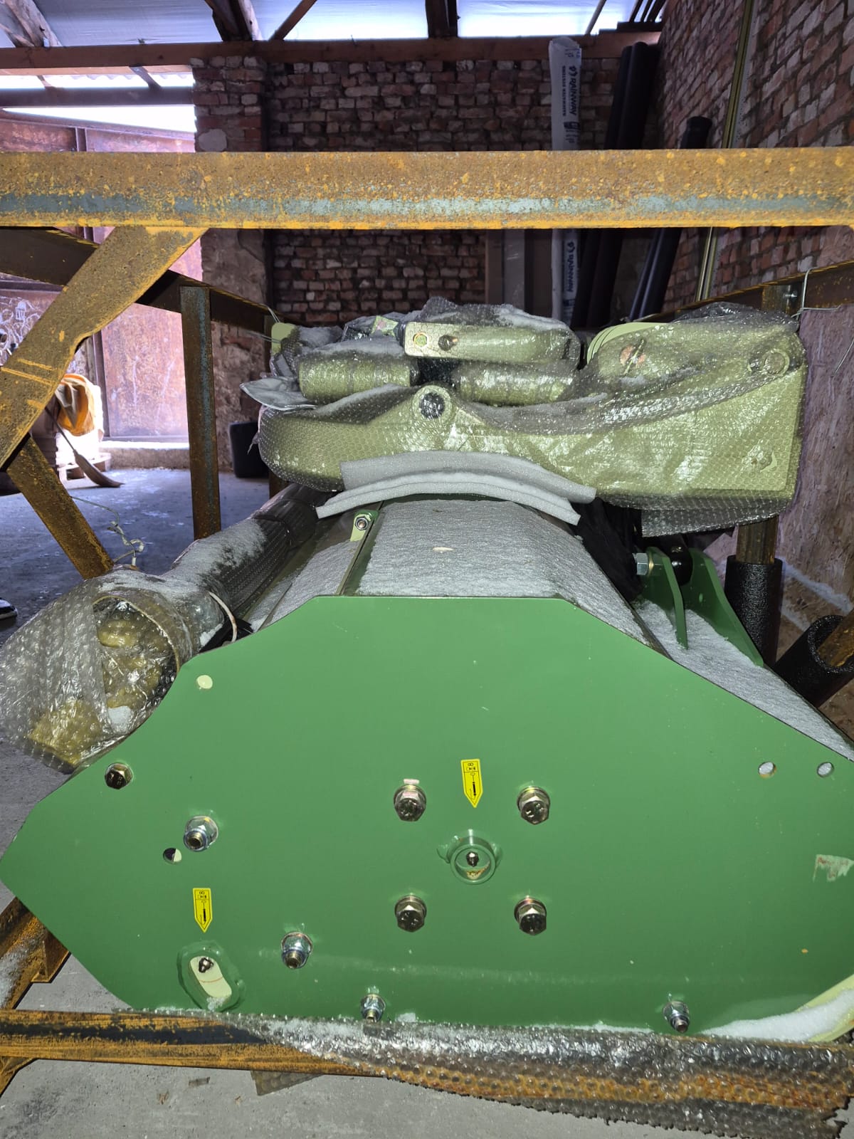
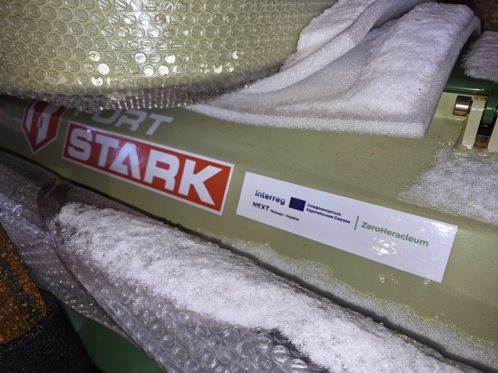
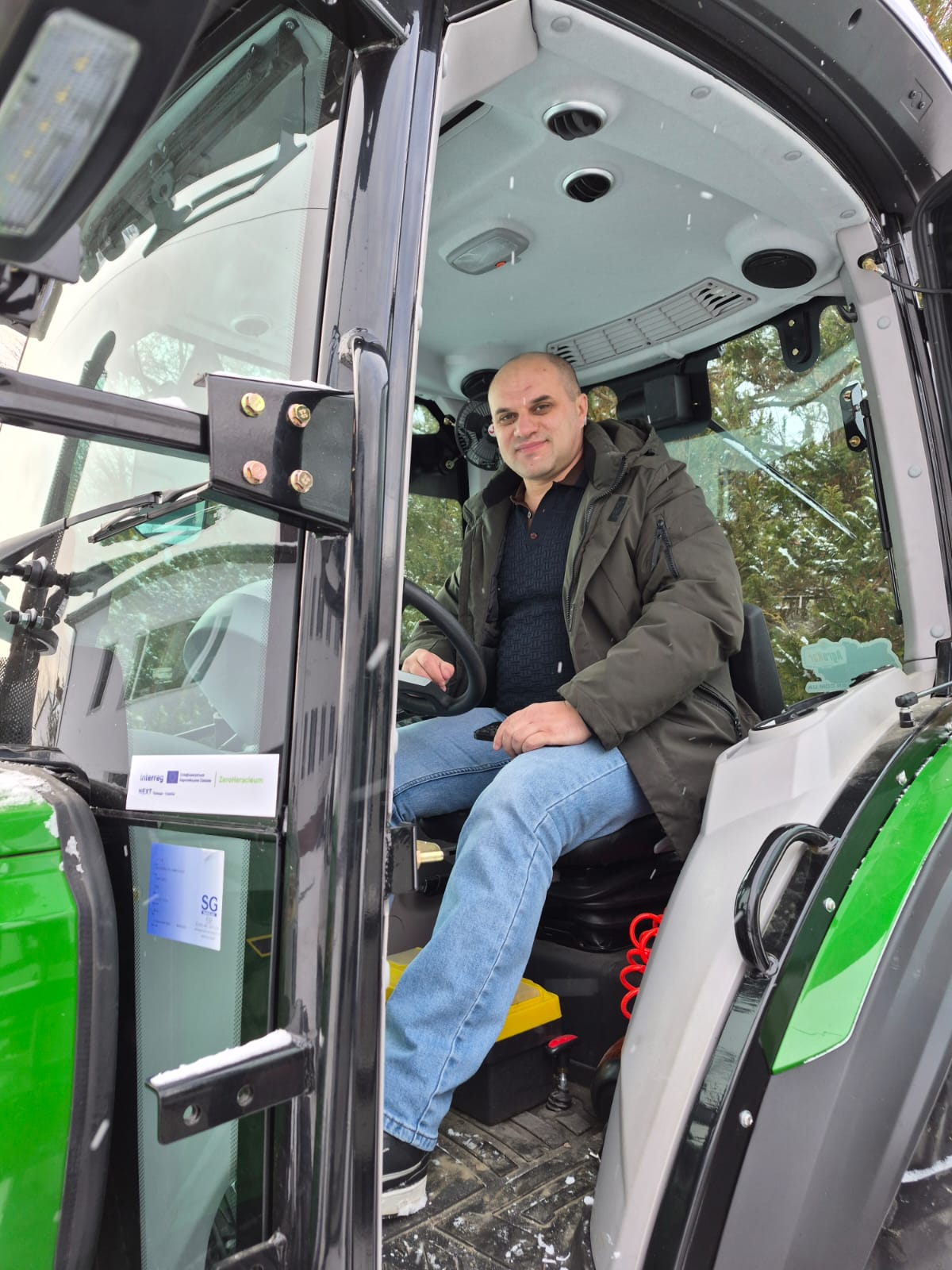
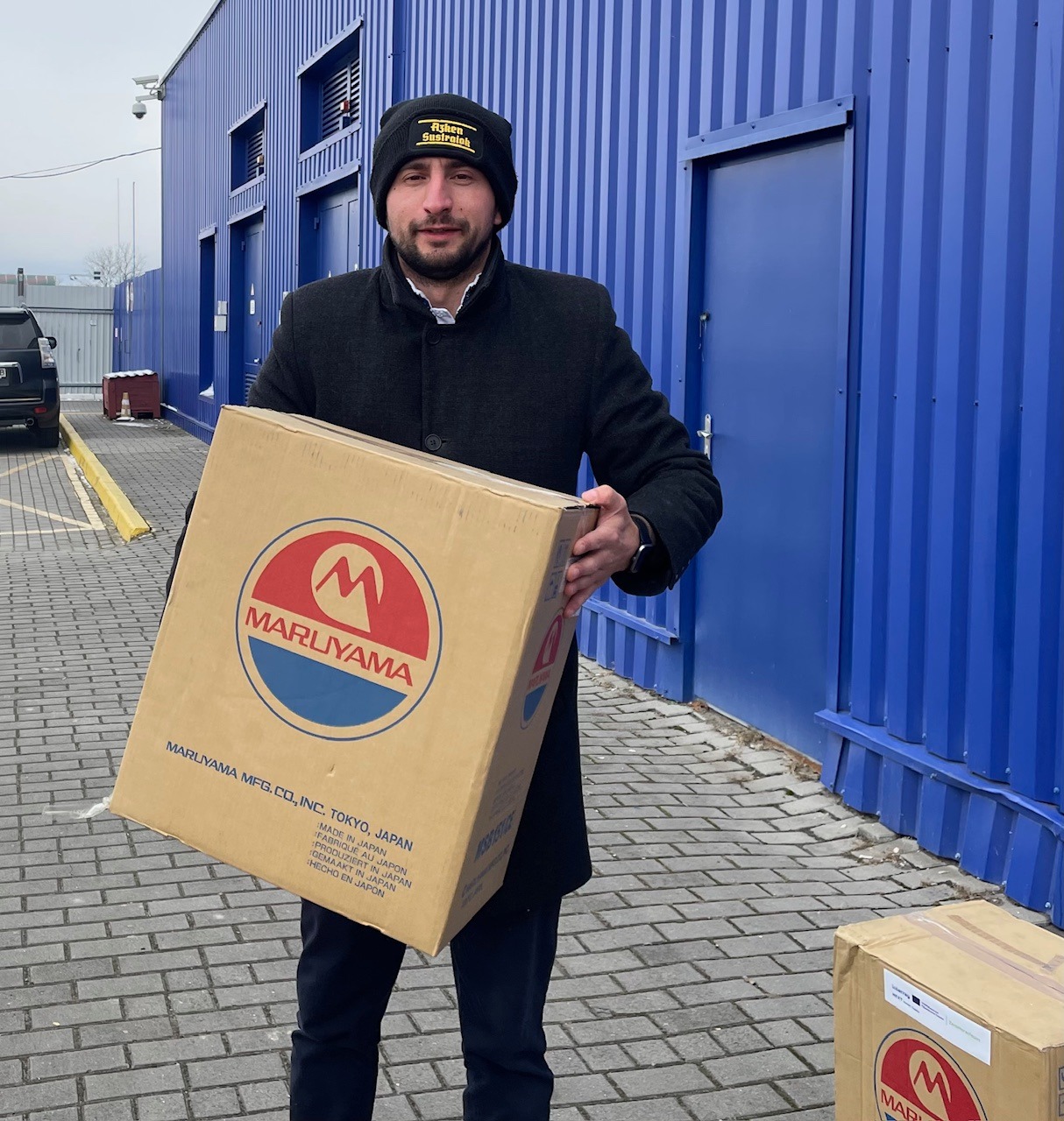
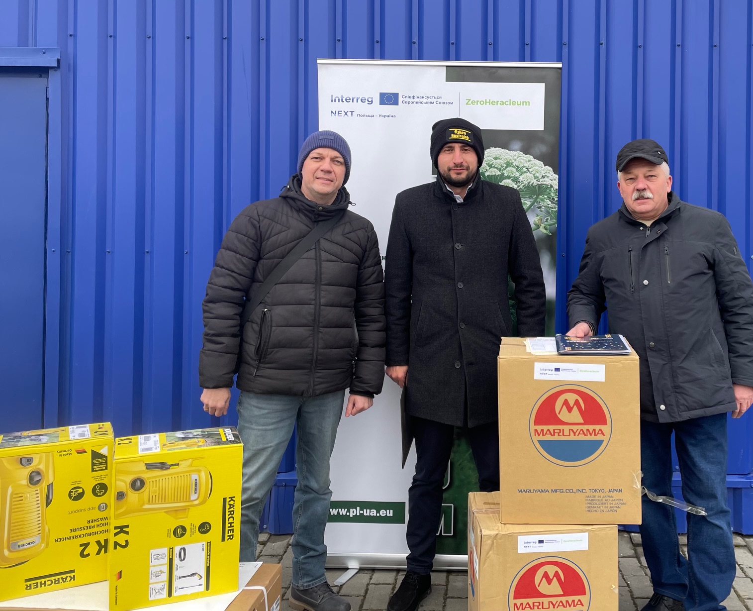
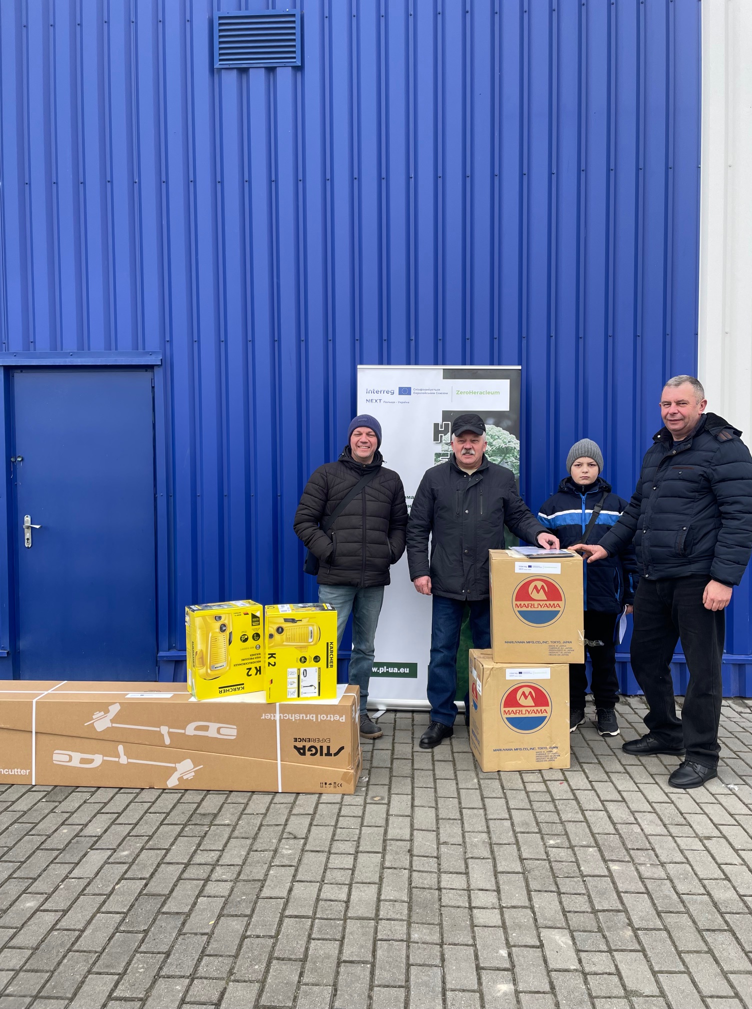
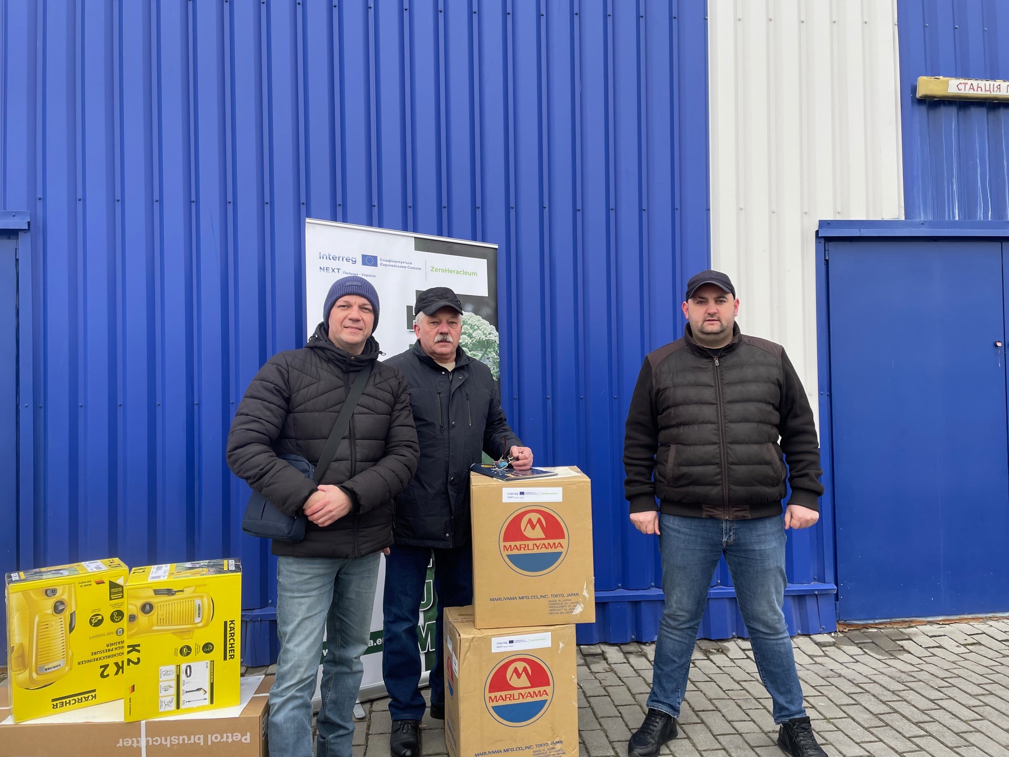
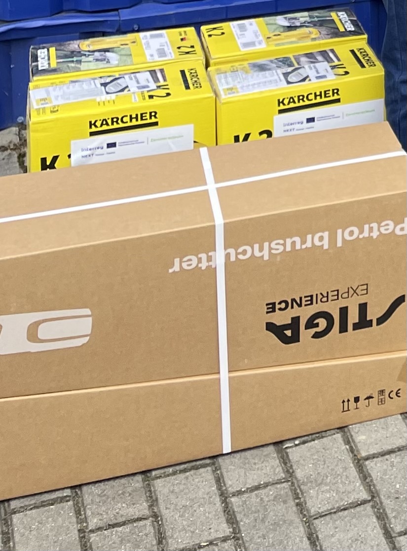
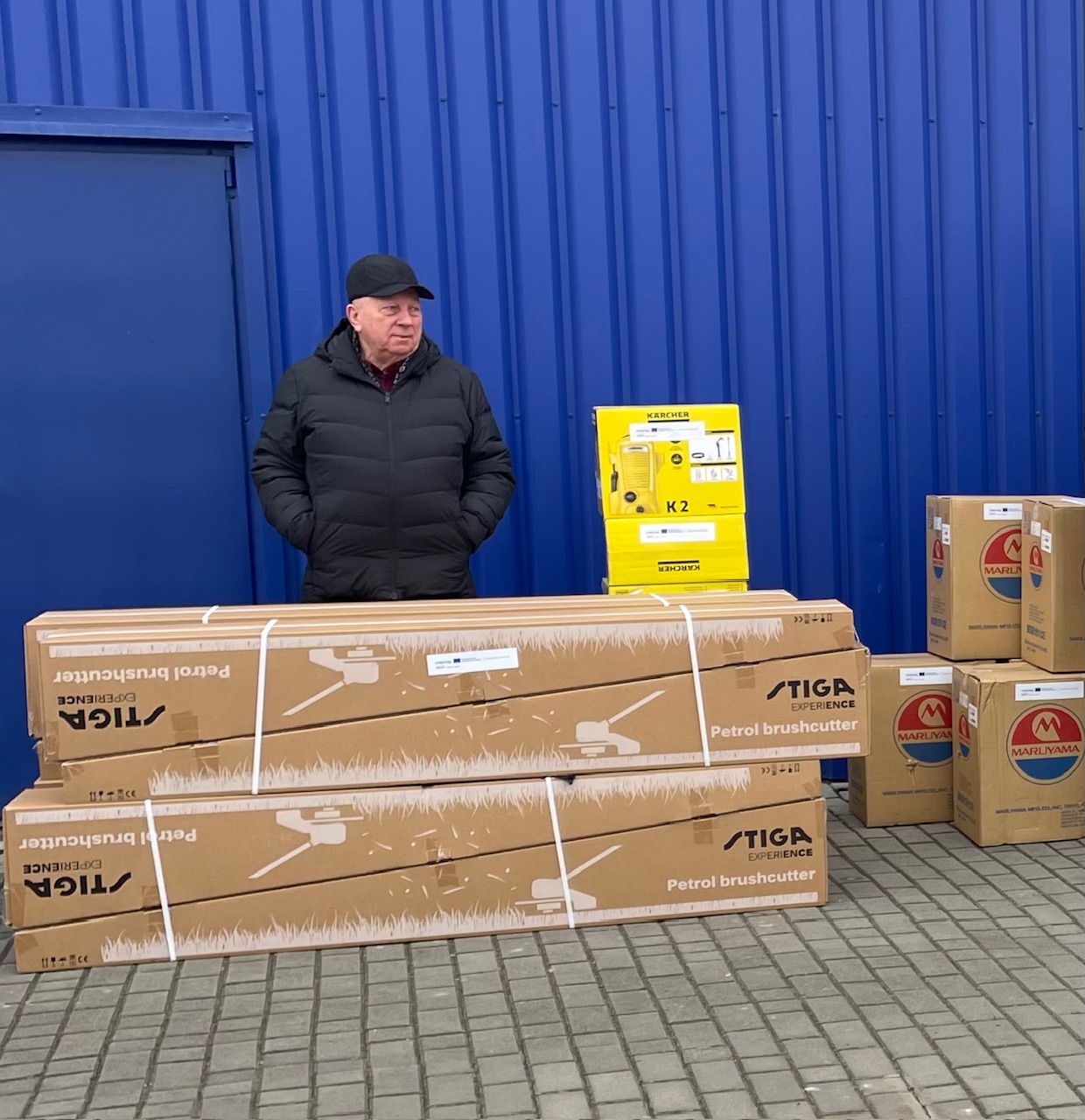
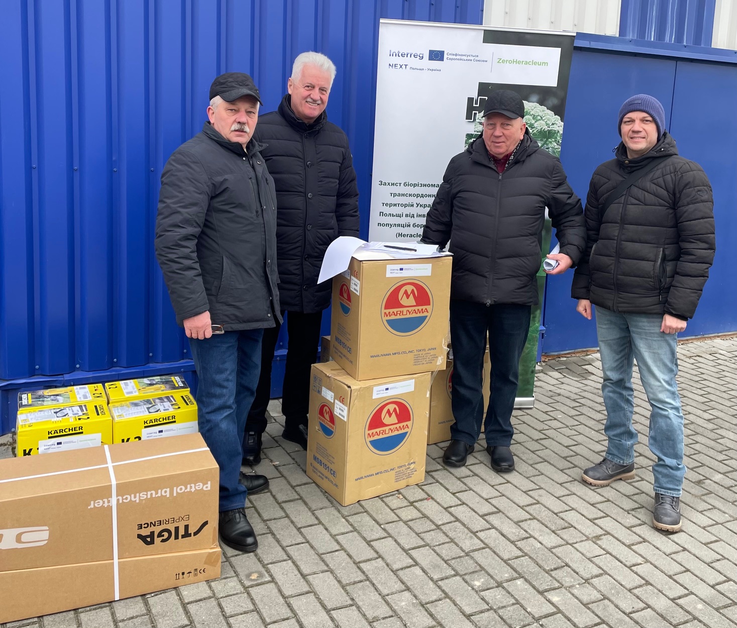
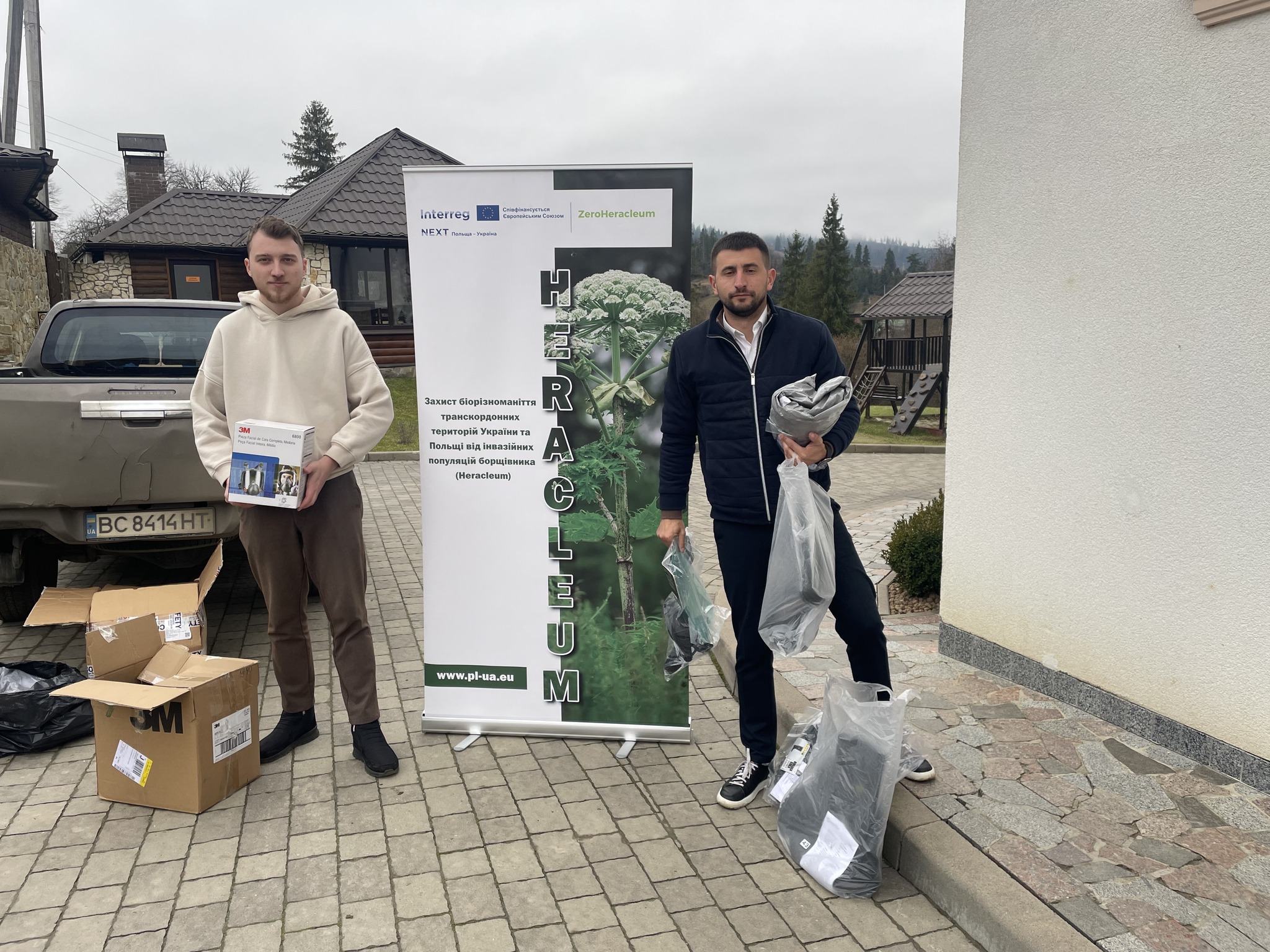
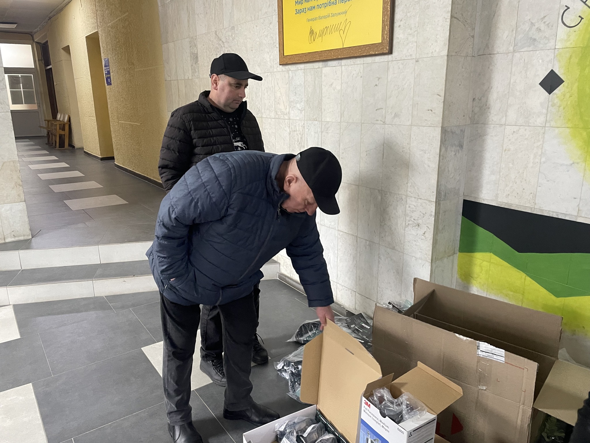
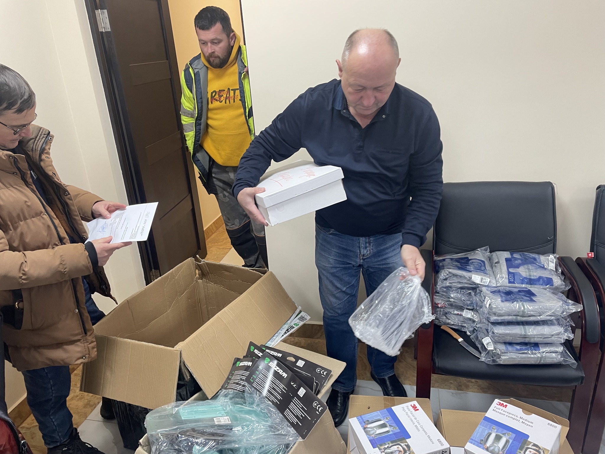
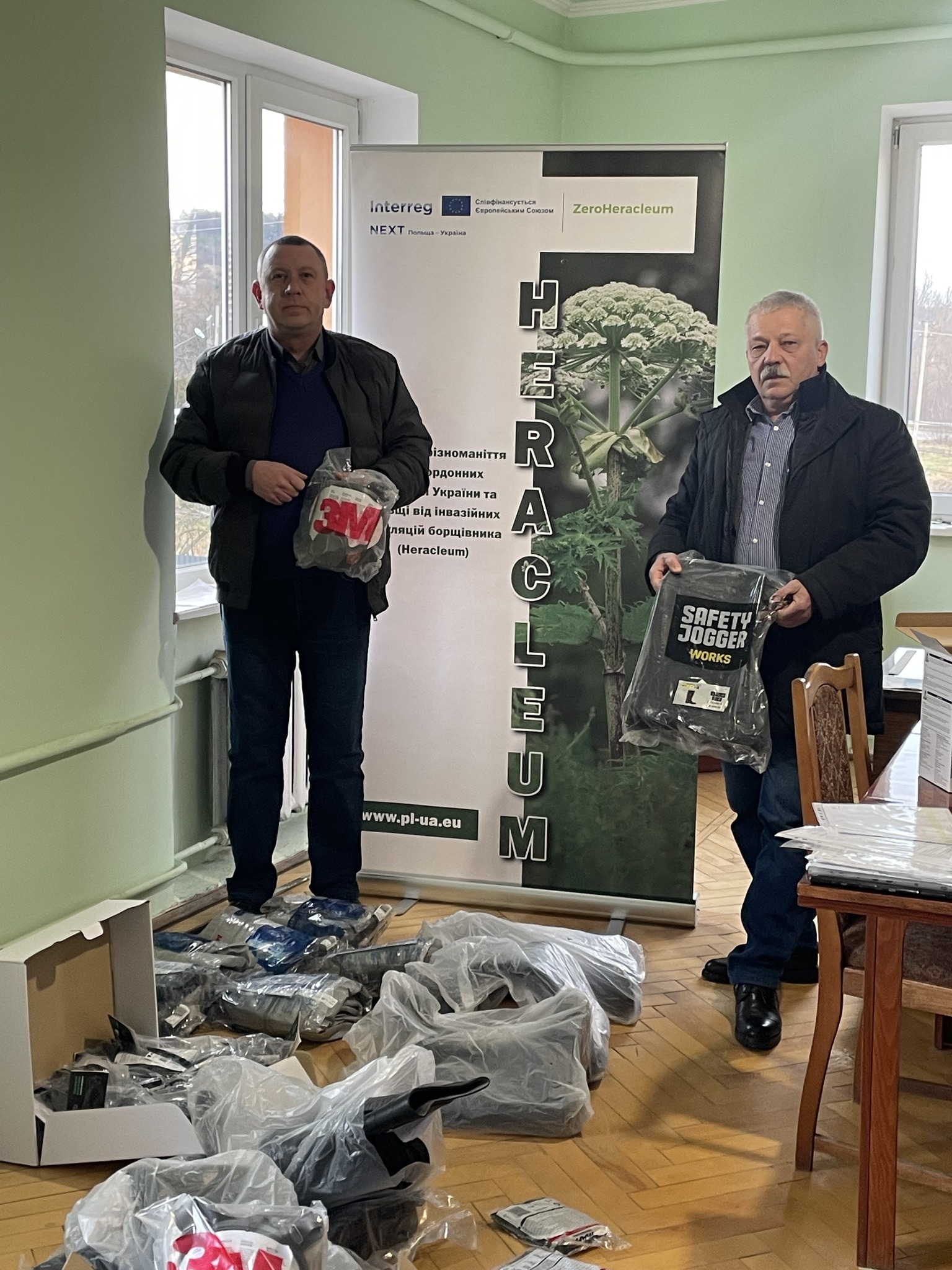
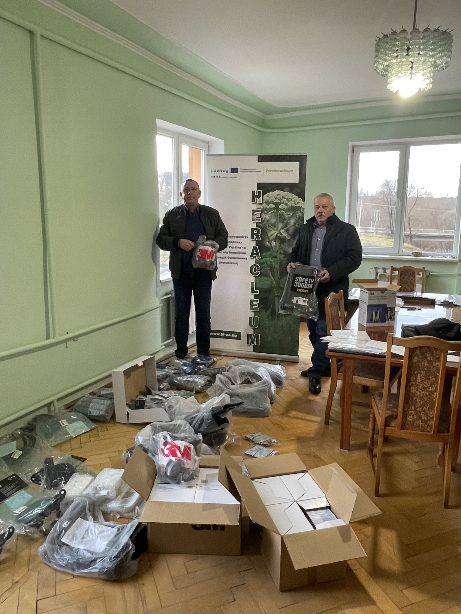
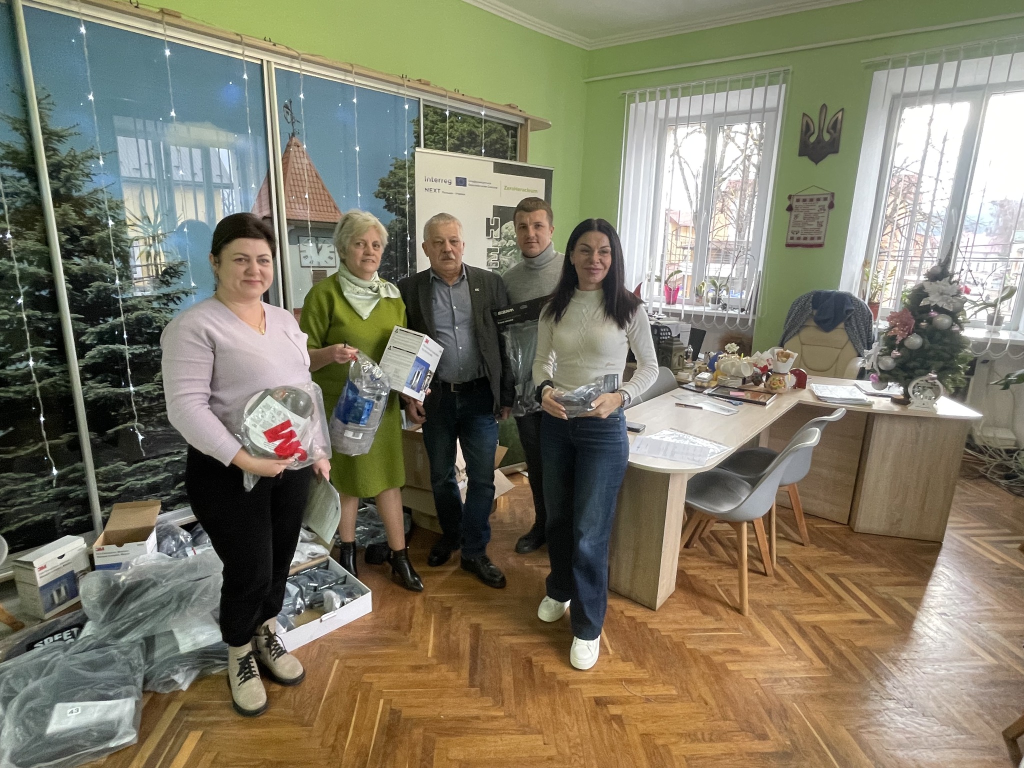
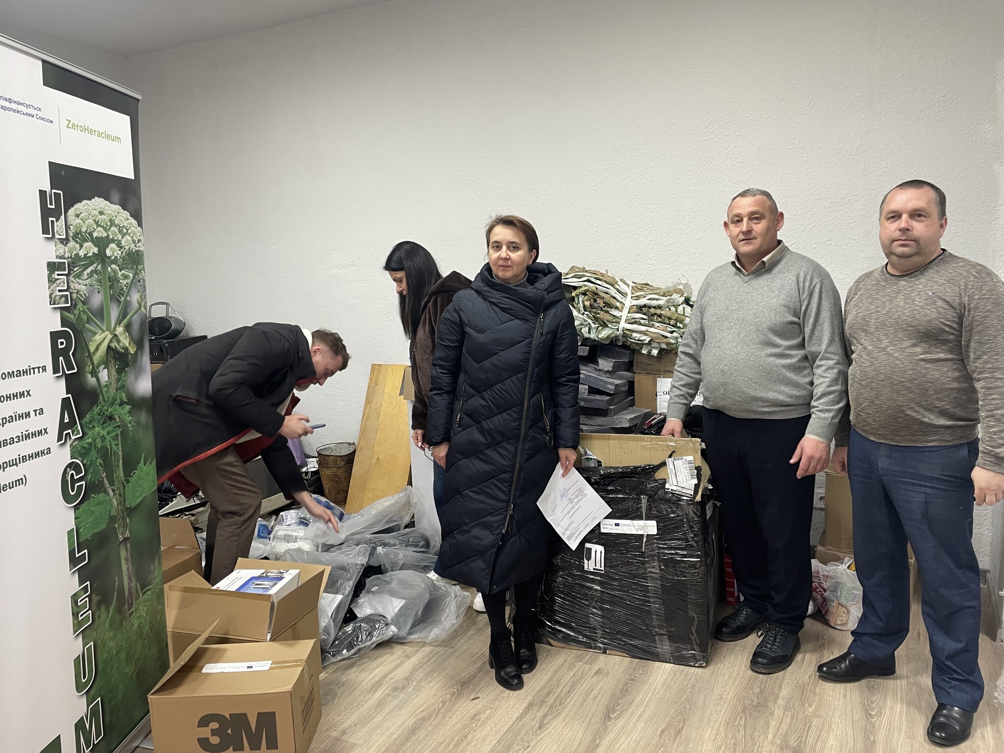
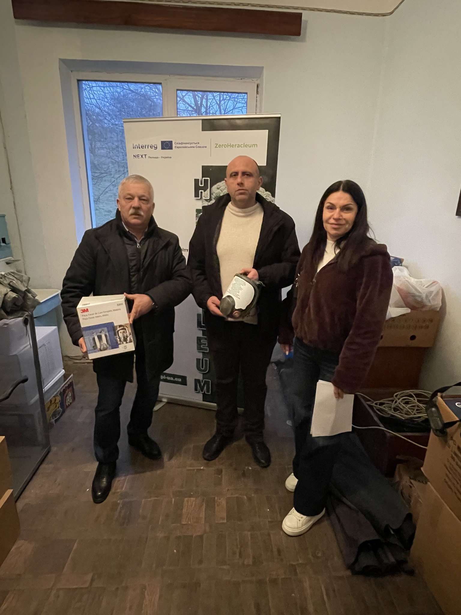
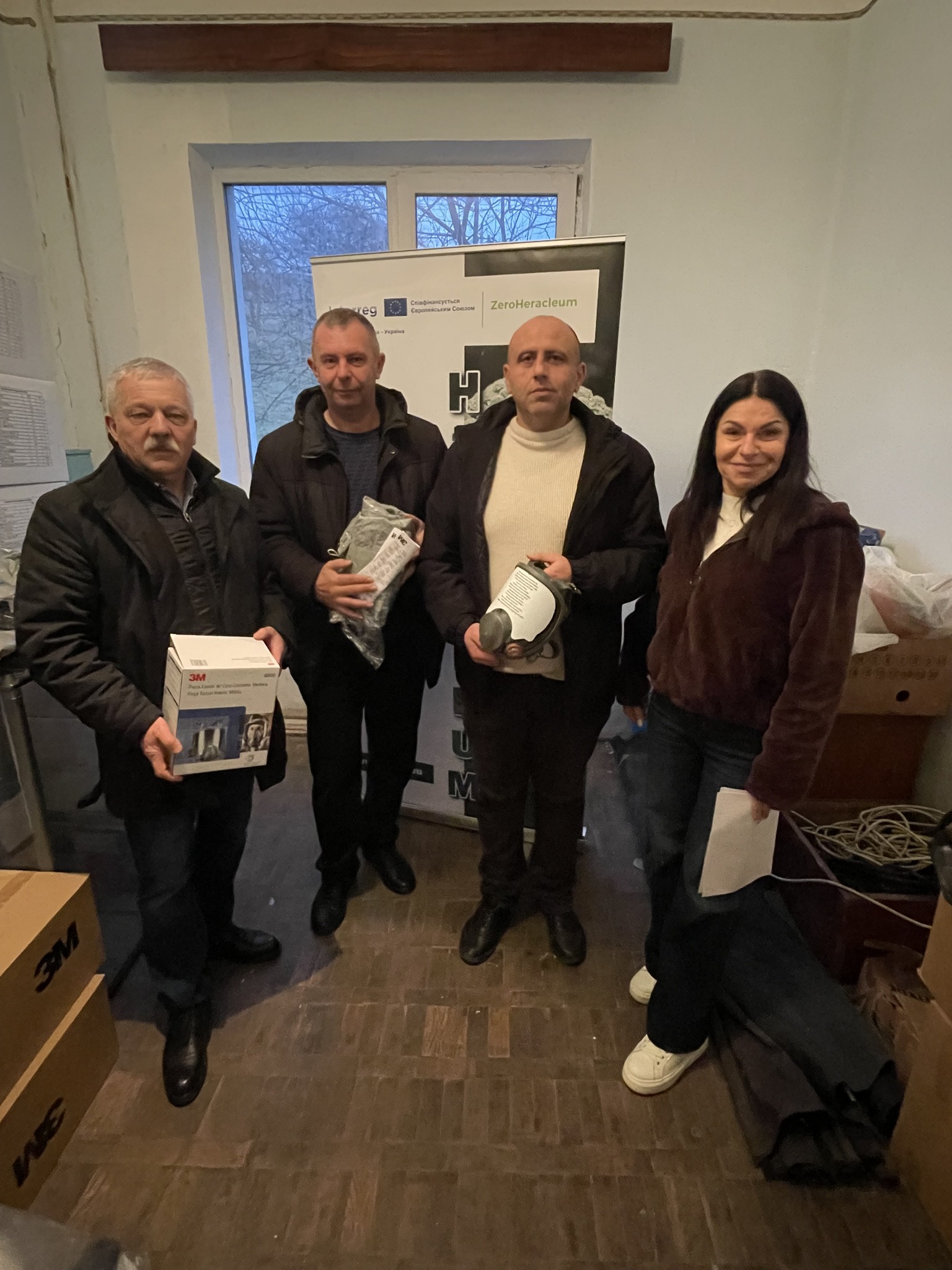
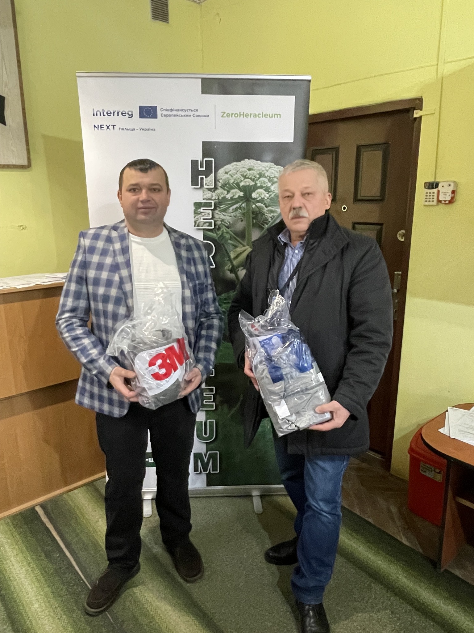
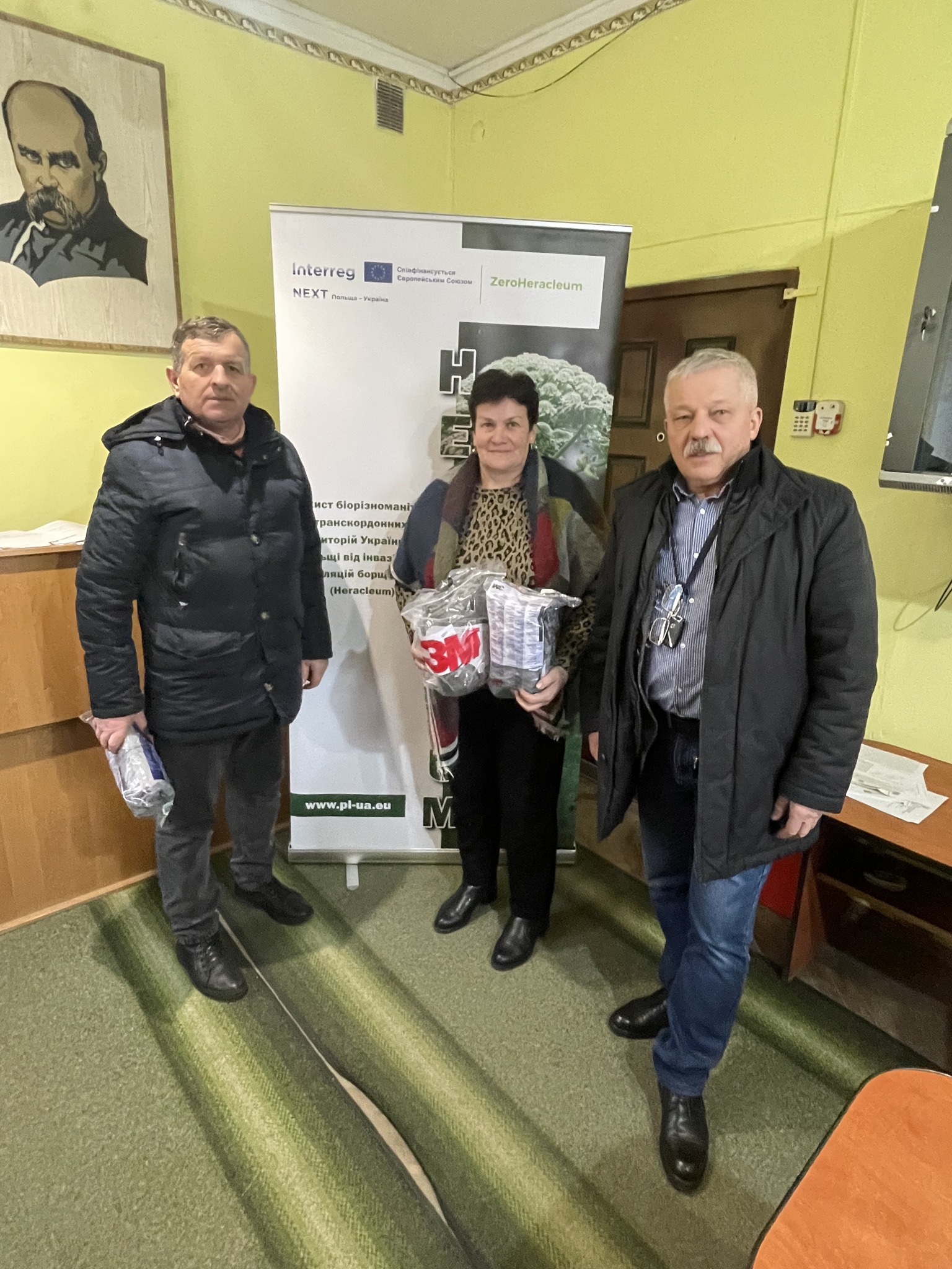
Effective measures to combat invasive hogweed will be tested and applied. These are intended to prevent the spread of this plant and help restore natural diversity. So far, there is no detailed information on the spatial distribution of hogweed and its impact on nature. Through various remote sensing survey methods (satellite and aerial), project partners expand their knowledge on this subject. Thanks to WebMap technology for sharing results, open access to knowledge on biodiversity and invasive alien species will be provided. Information on known hogweed locations will be gathered from local communities via the WebGIS application. An analysis of satellite images will be carried out to identify new locations of the dangerous hogweed species. Computer equipment will be purchased to enable the analysis. A promotional and information campaign (video and paper materials, training for all age groups) will spread awareness of the problem in local communities.
- The spread of this invasive species knows no bounds: natural barriers do not stop hogweed, so control must be a joint effort;
- Shared resources and ecosystems: The Ukrainian-Polish border region has shared rivers, forests, and landscapes, so effective control of hogweed requires cooperation between both countries;
- Harmonization of actions: it is necessary to jointly block the paths of hogweed invasion and ensure the sustainable functioning of natural ecosystems;
- Joint monitoring: sharing info between countries will make sure we can deal with the spread of hogweed effectively and help us improve how we control it;
- Joint scientific research: this will contribute to the introduction of innovative methods of population control and restoration of biodiversity in natural ecosystems;
- Ensuring sustainability and long-term results: a cross-border approach allows for the creation of an effective joint system for monitoring and controlling hogweed.
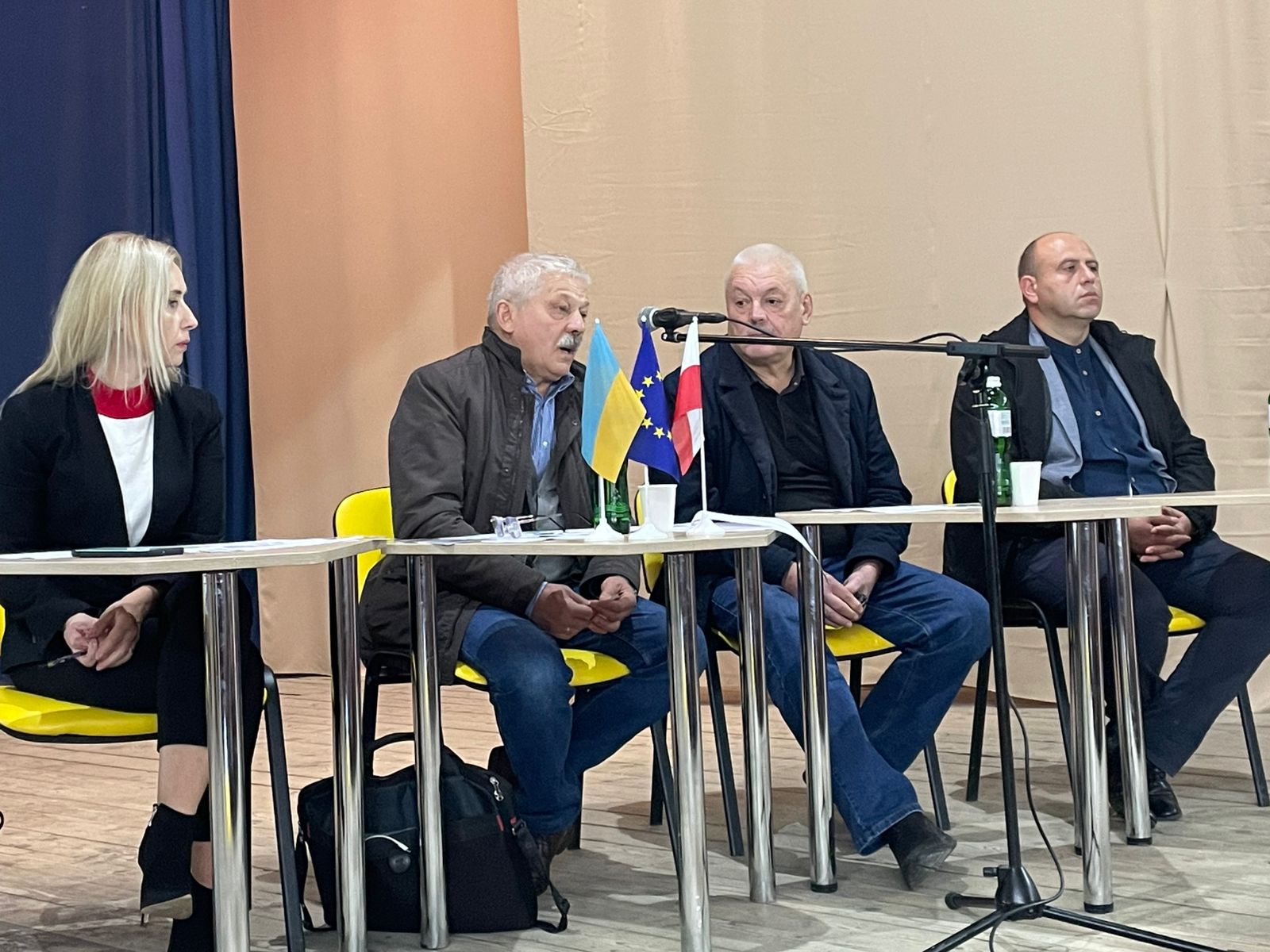
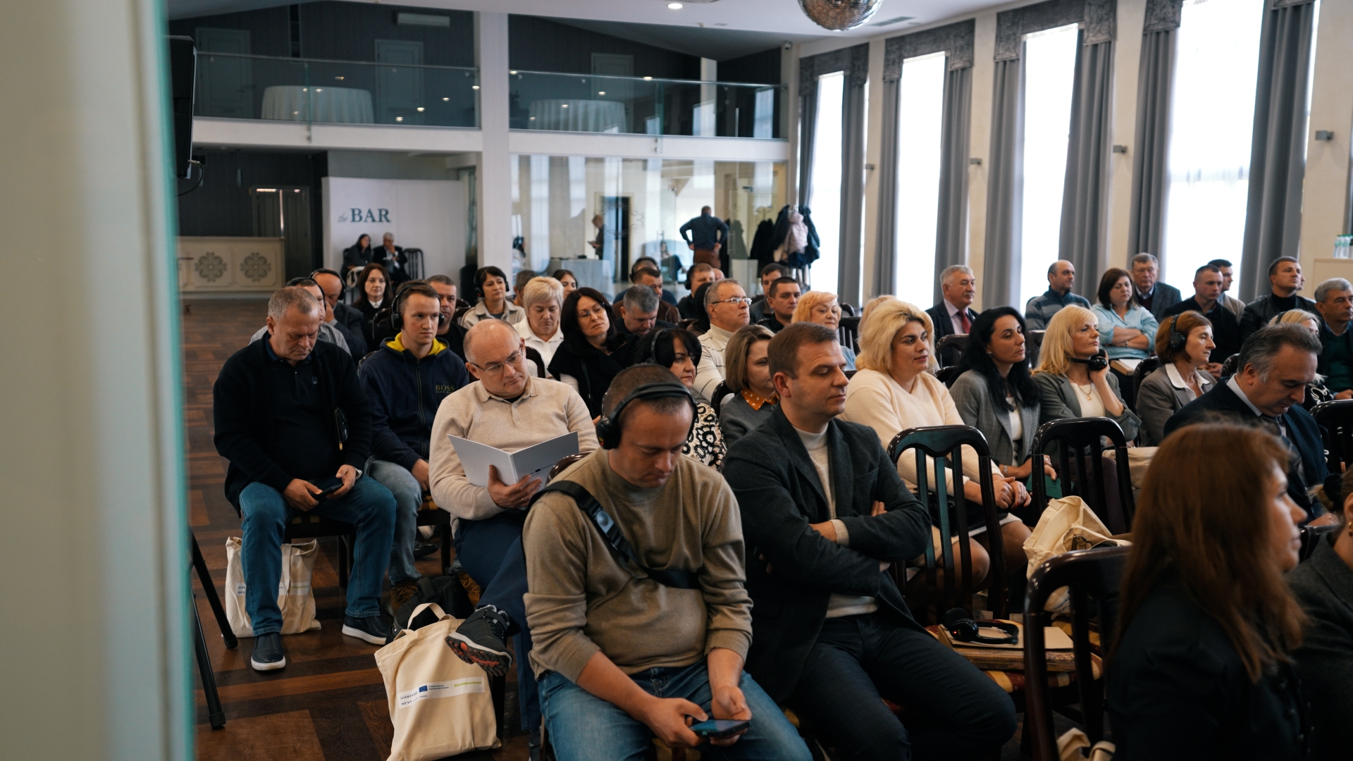
The joint, cross-border approach to the conservation of biodiversity against an invasive species will ensure an exchange of experience and cooperation between project partners. It will enable a comprehensive assessment of the status of hogweed populations and the testing of control methods on a larger scale. It will make it possible to monitor and limit the dispersal routes of the species under study. The areas where the project will be implemented are connected by the border river Bug, which is a site of hogweed propagation. By eliminating the threat of invasive plants, the quality of life for residents and the environment will be improved.
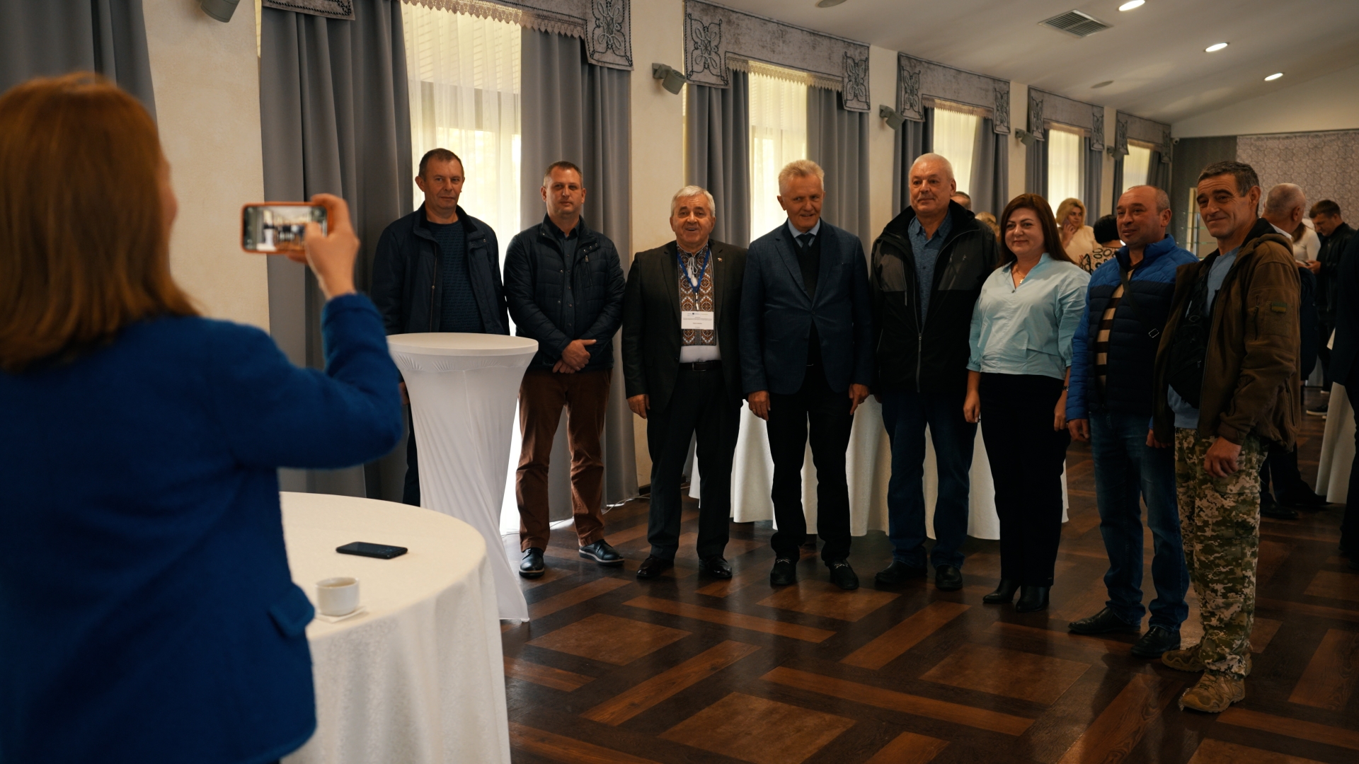
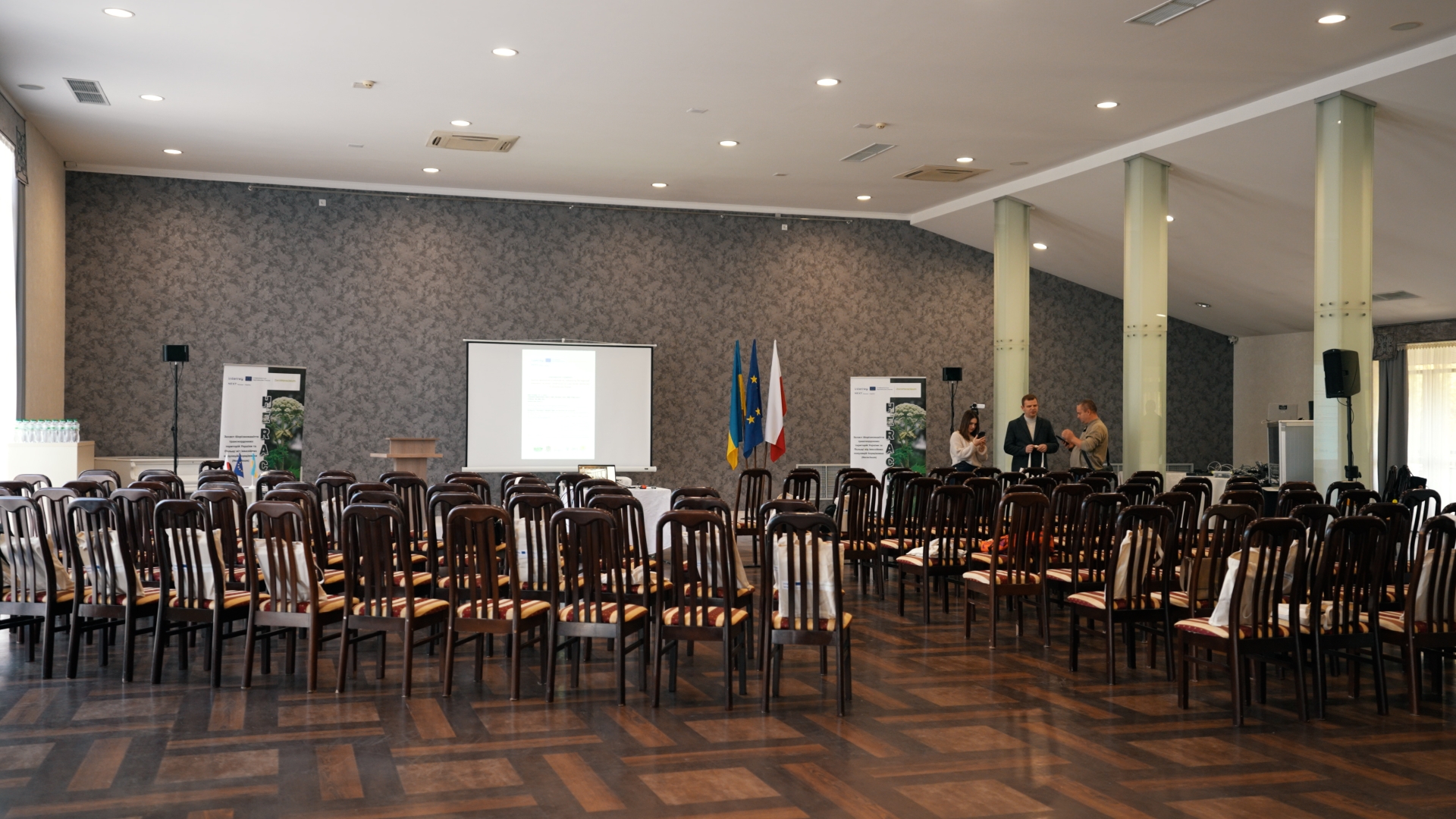
Partners


About Borshchivnik
Information about the plant
Description, biological characteristics, risks to health and the environment
Instructions for identifying the plant
Recommendations for the public, farmers, and municipal services on prevention and actions to take when in contact with the plant
About methods of control and prevention
Plant control methods
Methods of control
The spread of hogweed
Identification of locations where Sosnowski’s hogweed is found

Mobile application for determining location
Our mobile app is designed for quick and convenient mapping of Sosnowski’s hogweed locations. With its help, each user can add a point indicating the location of the plant, a photo, and additional information. This helps to create an up-to-date map of the spread of this dangerous invasive species and to support measures for its control and elimination.
The app opens via a link or QR code.
The app is free, but requires access to geolocation while in use. This is necessary to automatically determine the coordinates of the point you add to the map.
Media materials
Additional media materials


Library Title
Contacts
Contact us
"*" indicates required fields